Transport Functions
Rail
Road
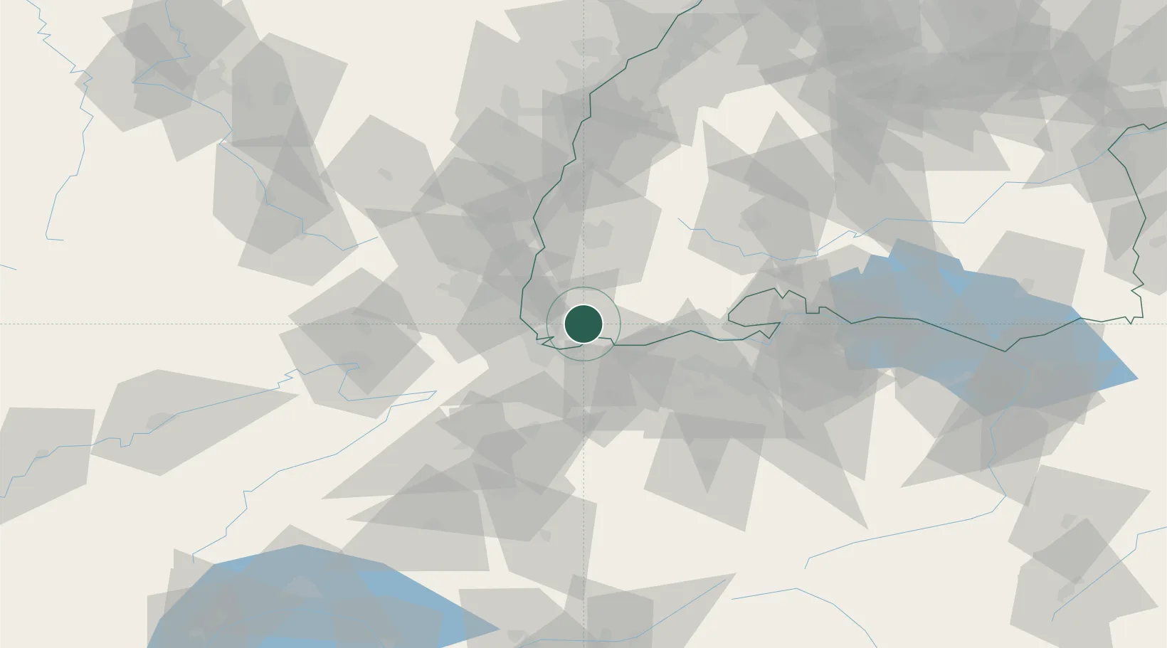
Hub Profile
Place type
Local administrative seat
Region
Baden-Wurttemberg
Population
4,099
Time zone
Europe/Berlin
Elevation
350 m
Location
Nearby Logistics Neighbours
Cities
- 1Zell im Wiesental8 km
- 2Wehr10 km
- 3Wittlingen10 km
- 4Kandern12 km
- 5Binzen13 km
Ports
- 1Genova372 km
- 2Savona375 km
- 3Rada Di Vado380 km
- 4Chiavari - Lavagna391 km
- 5Imperia419 km
Airports
Trade Zones
- 1ZFU Mulhouse35 km
- 2ZFU Belfort73 km
- 3ZFU Montbéliard77 km
- 4ZFU Neuhof99 km
- 5ZFU Hautepierre105 km
DatabookThe Record of Consolidated Knowledge
Germany beyond logistics?