Transport Functions
Multimodal
Hub Profile
Place type
Populated place
Region
Thuringia
Population
3,779
Time zone
Europe/Berlin
Elevation
273 m
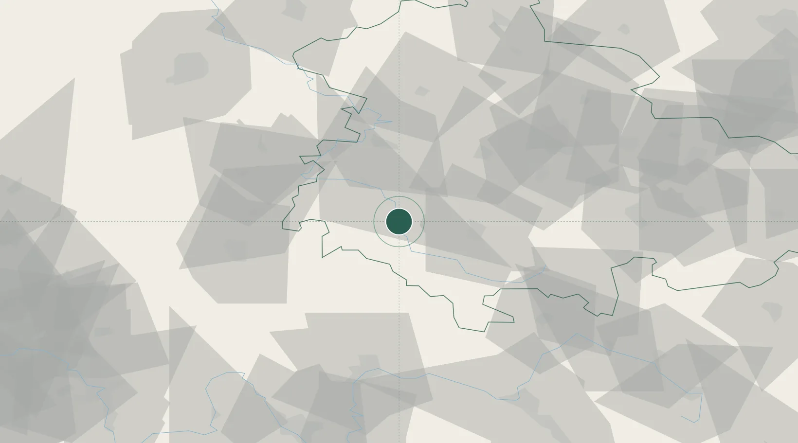
Location
Nearby Logistics Neighbours
Cities
- 1Schwallungen2 km
- 2Niederschmalkalden6 km
- 3Wernshausen6 km
- 4Schmalkalden8 km
- 5Breitungen11 km
Airports
- 1Eisenach-Kindel Airport37 km
- 2Erfurt-Weimar Airport54 km
- 3Fritzlar Army Airfield91 km
- 4Bamberg-Breitenau Airfield92 km
- 5Kassel Airport108 km
Trade Zones
- 1Podbořany Industrial Zone221 km
- 2Žatec - Triangle Strategic Industrial Zone225 km
- 3Most - Joseph Industrial Zone232 km
- 4Freeport of Deggendorf272 km
- 5Freeport of Duisburg278 km
DatabookThe Record of Consolidated Knowledge
Germany beyond logistics?