Transport Functions
Multimodal
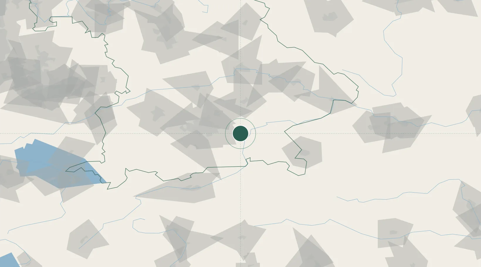
Hub Profile
Place type
Local administrative seat
Region
Bavaria
Population
2,892
Time zone
Europe/Berlin
Elevation
488 m
Location
Nearby Logistics Neighbours
Cities
- 1Edling6 km
- 2Frauenneuharting7 km
- 3Limburg8 km
- 4Wasserburg am Inn10 km
- 5Bachmehring11 km
Ports
- 1Nogaro271 km
- 2Monfalcone278 km
- 3Grado281 km
- 4Porto Di Lido-Venezia298 km
- 5Trieste298 km
Airports
- 1Munich Airport38 km
- 2Landshut Airfield48 km
- 3Oberpfaffenhofen Airport61 km
- 4Altstetten Ultralight Field65 km
- 5Salzburg Airport75 km
Trade Zones
DatabookThe Record of Consolidated Knowledge
Germany beyond logistics?