Transport Functions
Road
Multimodal
Hub Profile
Place type
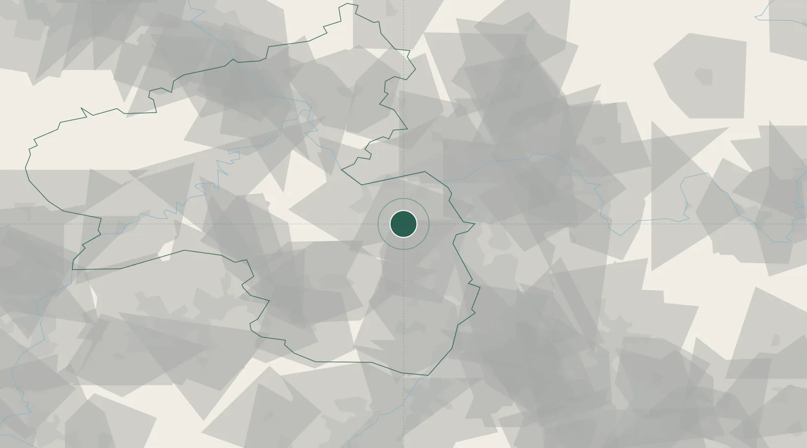
Populated place
Region
Rheinland-Pfalz
Time zone
Europe/Berlin
Elevation
198 m
Location
Nearby Logistics Neighbours
Cities
- 1Albig1 km
- 2Heimersheim1 km
- 3Framersheim5 km
- 4Kettenheim6 km
- 5Biebelnheim6 km
Airports
- 1Mainz-Finthen Airfield23 km
- 2Wiesbaden Army Airfield35 km
- 3Frankfurt Main Airport44 km
- 4Mannheim-City Airport44 km
- 5Frankfurt-Egelsbach Airport45 km
Trade Zones
- 1ZFU La Cité Behren-lès-Forbach108 km
- 2ZFU Hautepierre134 km
- 3Luxembourg Free Port136 km
- 4ZFU Neuhof139 km
- 5ZFU Woippy-Metz157 km
DatabookThe Record of Consolidated Knowledge
Germany beyond logistics?