Transport Functions
Rail
Road
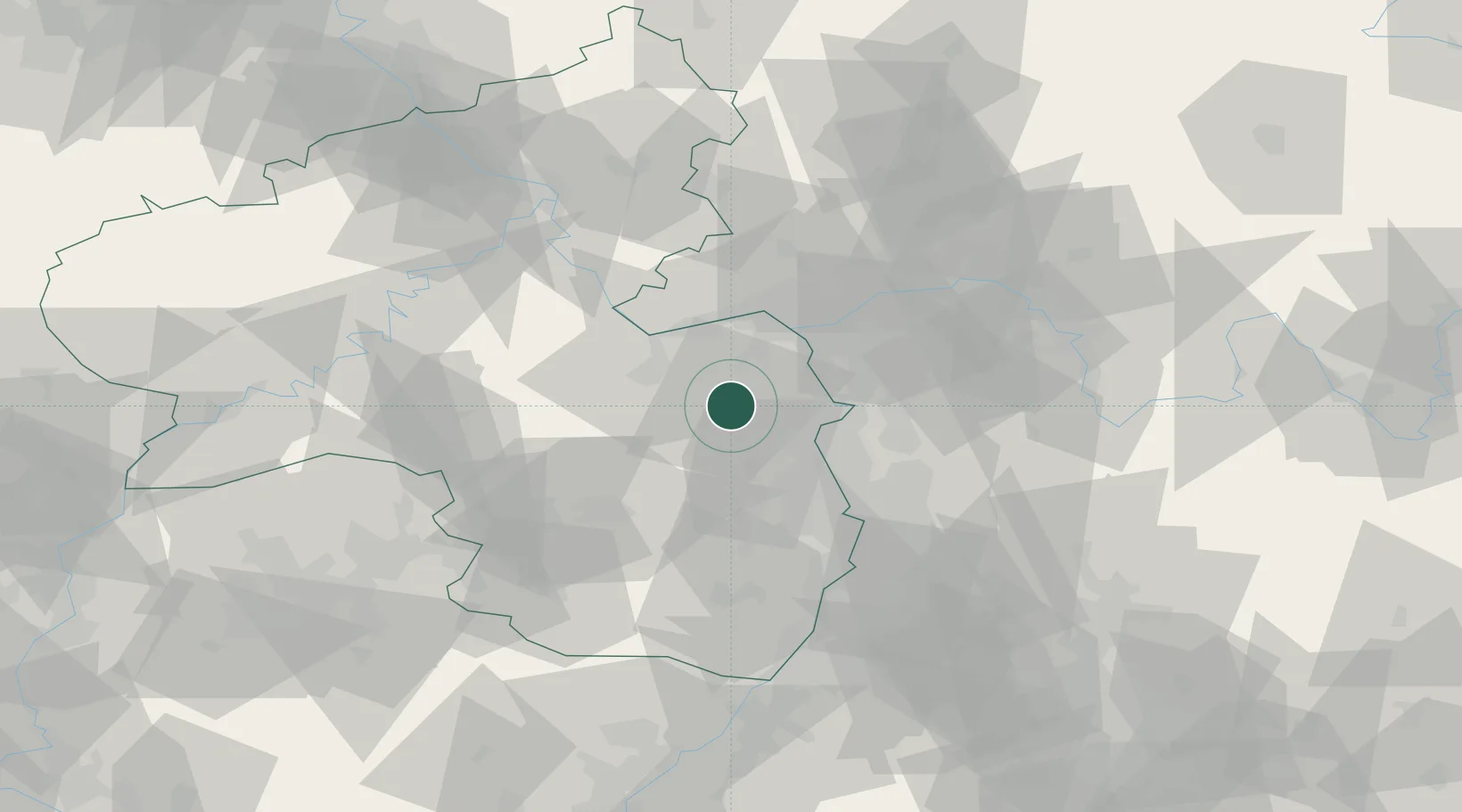
Hub Profile
Place type
Local administrative seat
Region
Rheinland-Pfalz
Population
1,672
Time zone
Europe/Berlin
Elevation
178 m
Location
Nearby Logistics Neighbours
Cities
- 1Bermersheim1 km
- 2Heimersheim2 km
- 3Framersheim4 km
- 4Gau Odernheim5 km
- 5Biebelnheim5 km
Airports
- 1Mainz-Finthen Airfield22 km
- 2Wiesbaden Army Airfield35 km
- 3Frankfurt Main Airport43 km
- 4Frankfurt-Egelsbach Airport43 km
- 5Mannheim-City Airport43 km
Trade Zones
- 1ZFU La Cité Behren-lès-Forbach109 km
- 2ZFU Hautepierre134 km
- 3Luxembourg Free Port137 km
- 4ZFU Neuhof139 km
- 5ZFU Woippy-Metz158 km
DatabookThe Record of Consolidated Knowledge
Germany beyond logistics?