Transport Functions
Multimodal
Hub Profile
Place type
Local administrative seat
Region
Lower Saxony
Population
689
Time zone
Europe/Berlin
Elevation
7 m
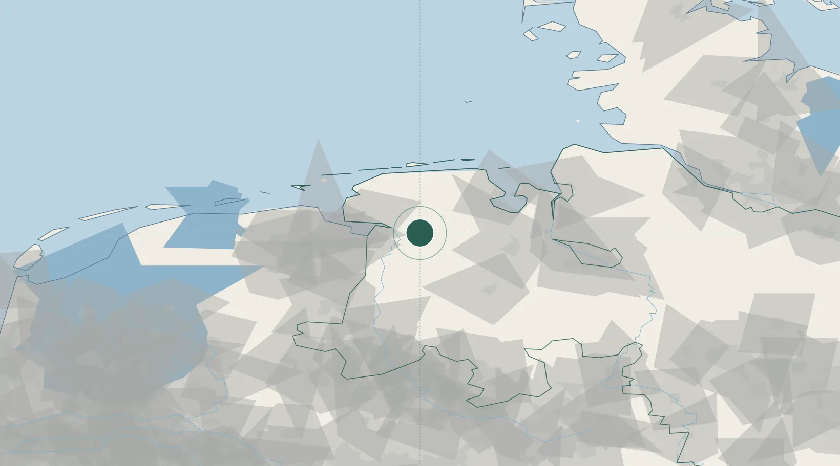
Location
Nearby Logistics Neighbours
Cities
- 1Jemgum12 km
- 2Augustfehn14 km
- 3Apen17 km
- 4Oldersum17 km
- 5Weener18 km
Airports
- 1Emden Airport26 km
- 2Wittmundhafen Air Base32 km
- 3Norden-Norddeich Airport48 km
- 4Harlesiel Airfield52 km
- 5Baltrum Airport53 km
Trade Zones
DatabookThe Record of Consolidated Knowledge
Germany beyond logistics?