Transport Functions
Rail
Road
Multimodal
Hub Profile
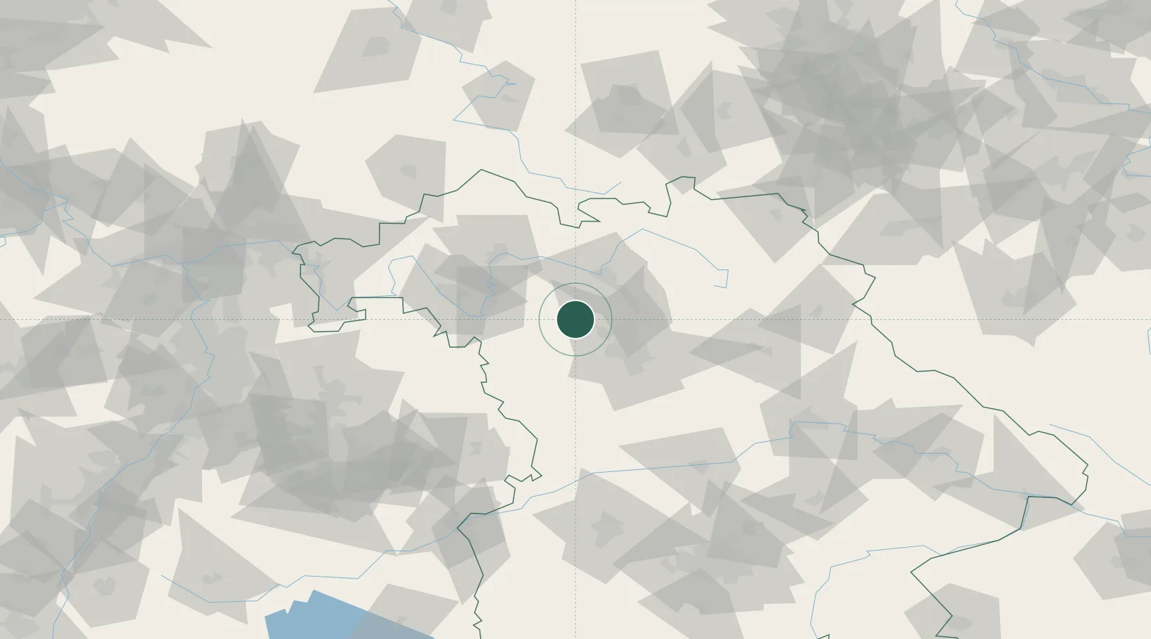
Place type
Populated place
Region
Bavaria
Time zone
Europe/Berlin
Elevation
281 m
Location
Nearby Logistics Neighbours
Cities
- 1Lonnerstadt7 km
- 2Weisendorf10 km
- 3Wachenroth11 km
- 4Burghaslach12 km
- 5Schlüsselfeld12 km
Airports
- 1Nuremberg Airport32 km
- 2Bamberg-Breitenau Airfield34 km
- 3Niederstetten Army Air Base61 km
- 4Bayreuth Airport77 km
- 5Adolf Würth Airport89 km
Trade Zones
- 1Freeport of Deggendorf183 km
- 2Podbořany Industrial Zone204 km
- 3Žatec - Triangle Strategic Industrial Zone218 km
- 4Most - Joseph Industrial Zone230 km
- 5ZFU Neuhof247 km
DatabookThe Record of Consolidated Knowledge
Germany beyond logistics?