Transport Functions
Rail
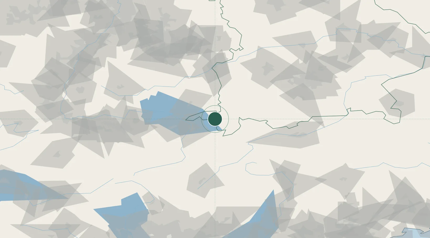
Hub Profile
Place type
Populated place
Region
Bavaria
Population
7,190
Time zone
Europe/Berlin
Elevation
790 m
Location
Nearby Logistics Neighbours
Cities
- 1Oberreute7 km
- 2Weitnau11 km
- 3Lindenberg im Allgäu11 km
- 4Immenstadt im Allgäu14 km
- 5Argenbühl16 km
Ports
- 1Porto Di Lido-Venezia300 km
- 2Porto Di Chioggia311 km
- 3Nogaro311 km
- 4Grado323 km
- 5Monfalcone333 km
Airports
Trade Zones
- 1Livigno Free Trade Zone113 km
- 2ZFU Neuhof202 km
- 3ZFU Mulhouse203 km
- 4Magazzini Generali Con Chiasso207 km
- 5ZFU Hautepierre209 km
DatabookThe Record of Consolidated Knowledge
Germany beyond logistics?