Transport Functions
Port
Rail
Road
Hub Profile
Place type
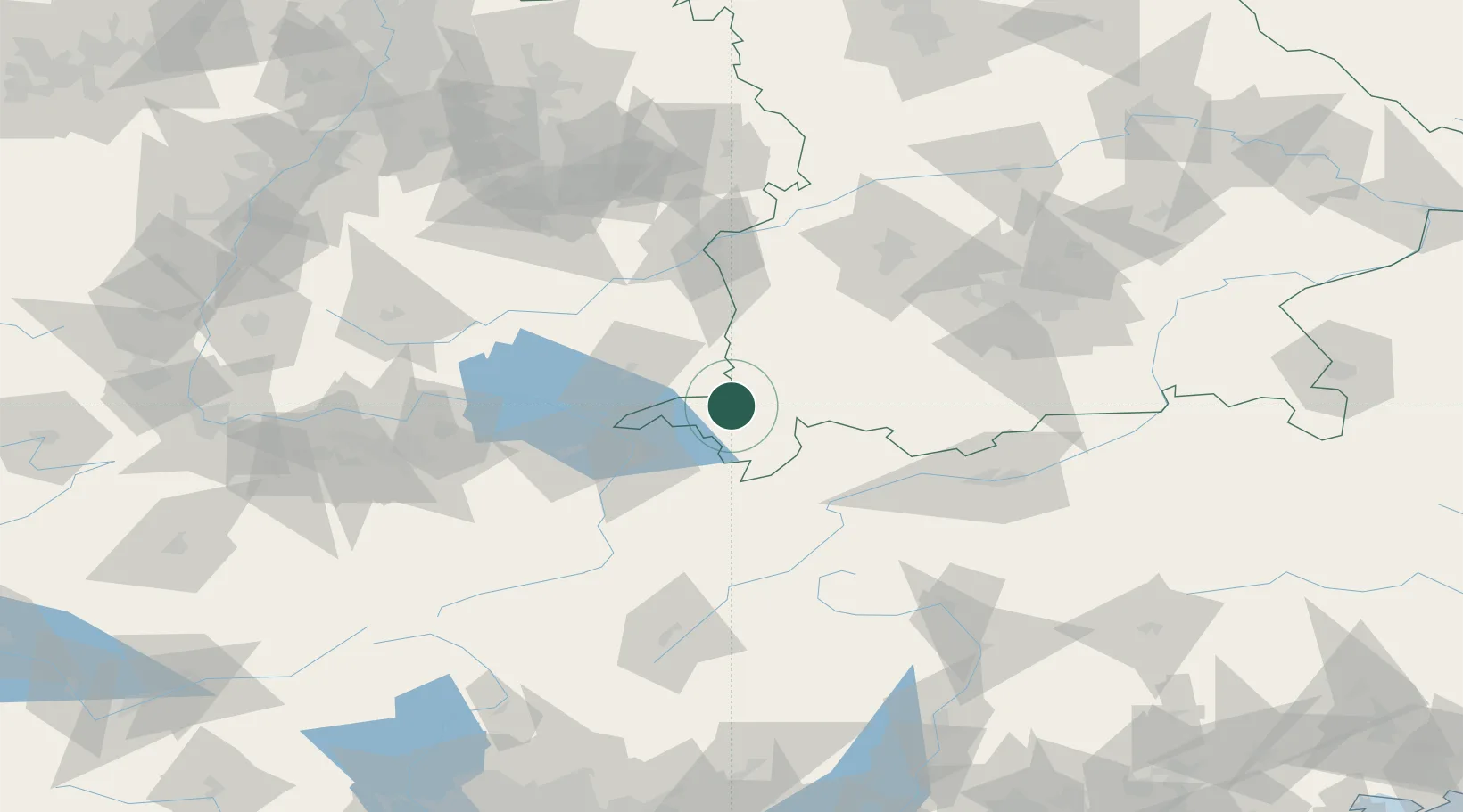
Populated place
Region
Bavaria
Population
5,143
Time zone
Europe/Berlin
Elevation
791 m
Location
Nearby Logistics Neighbours
Cities
- 1Immenstadt im Allgäu11 km
- 2Oberstaufen11 km
- 3Argenbühl14 km
- 4Oberreute15 km
- 5Ermengerst16 km
Ports
- 1Porto Di Lido-Venezia304 km
- 2Nogaro312 km
- 3Porto Di Chioggia315 km
- 4Grado324 km
- 5Monfalcone333 km
Airports
Trade Zones
- 1Livigno Free Trade Zone122 km
- 2ZFU Neuhof202 km
- 3ZFU Mulhouse209 km
- 4ZFU Hautepierre209 km
- 5Magazzini Generali Con Chiasso218 km
DatabookThe Record of Consolidated Knowledge
Germany beyond logistics?