Transport Functions
Road
Multimodal
Hub Profile
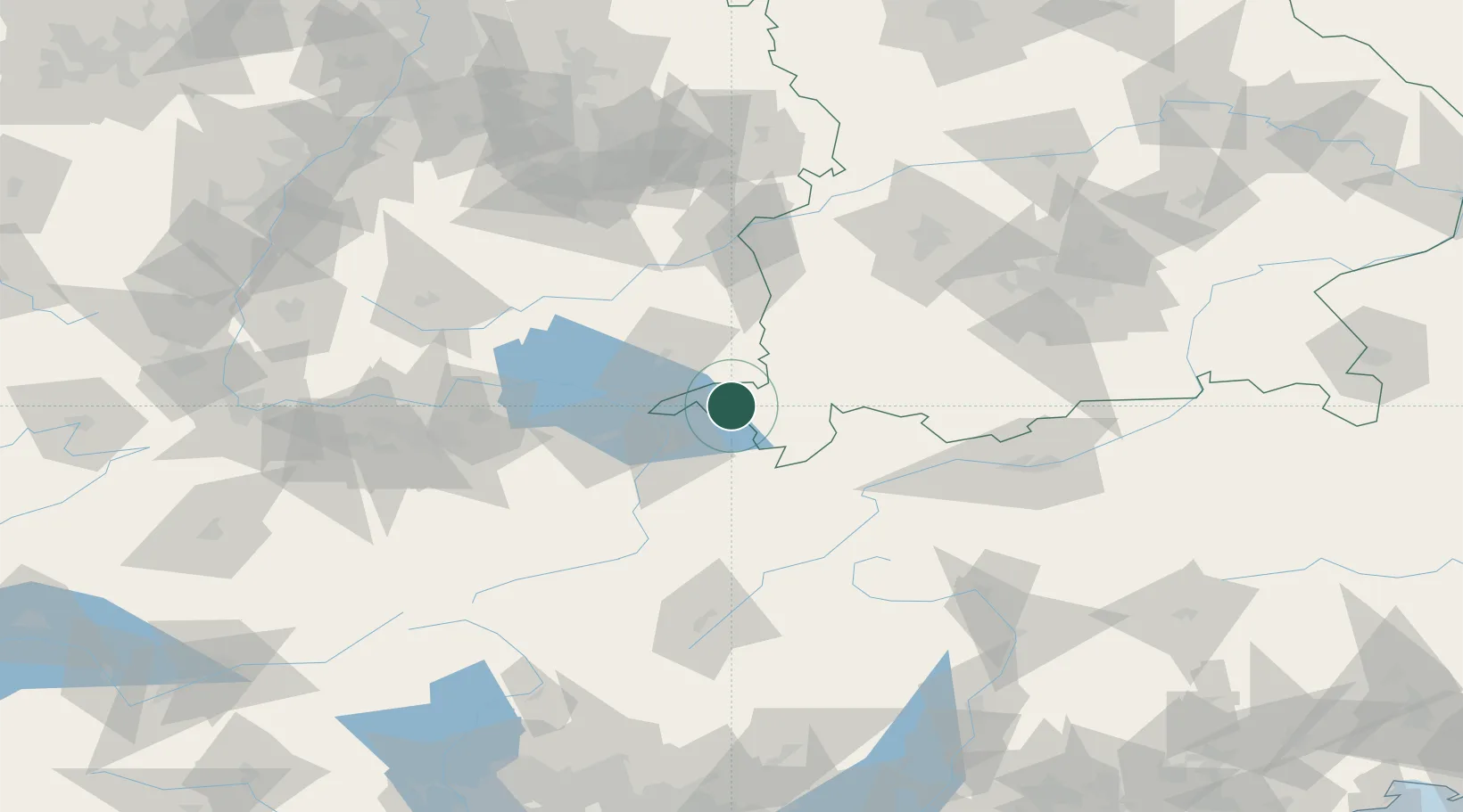
Place type
Local administrative seat
Region
Bavaria
Population
1,566
Time zone
Europe/Berlin
Elevation
856 m
Location
Nearby Logistics Neighbours
Cities
- 1Lindenberg im Allgäu5 km
- 2Oberstaufen7 km
- 3Hergatz13 km
- 4Argenbühl13 km
- 5Hergensweiler14 km
Ports
- 1Porto Di Lido-Venezia305 km
- 2Porto Di Chioggia316 km
- 3Nogaro317 km
- 4Grado330 km
- 5Monfalcone339 km
Airports
Trade Zones
- 1Livigno Free Trade Zone116 km
- 2ZFU Neuhof195 km
- 3ZFU Mulhouse197 km
- 4ZFU Hautepierre203 km
- 5Magazzini Generali Con Chiasso206 km
DatabookThe Record of Consolidated Knowledge
Germany beyond logistics?