Transport Functions
Rail
Road
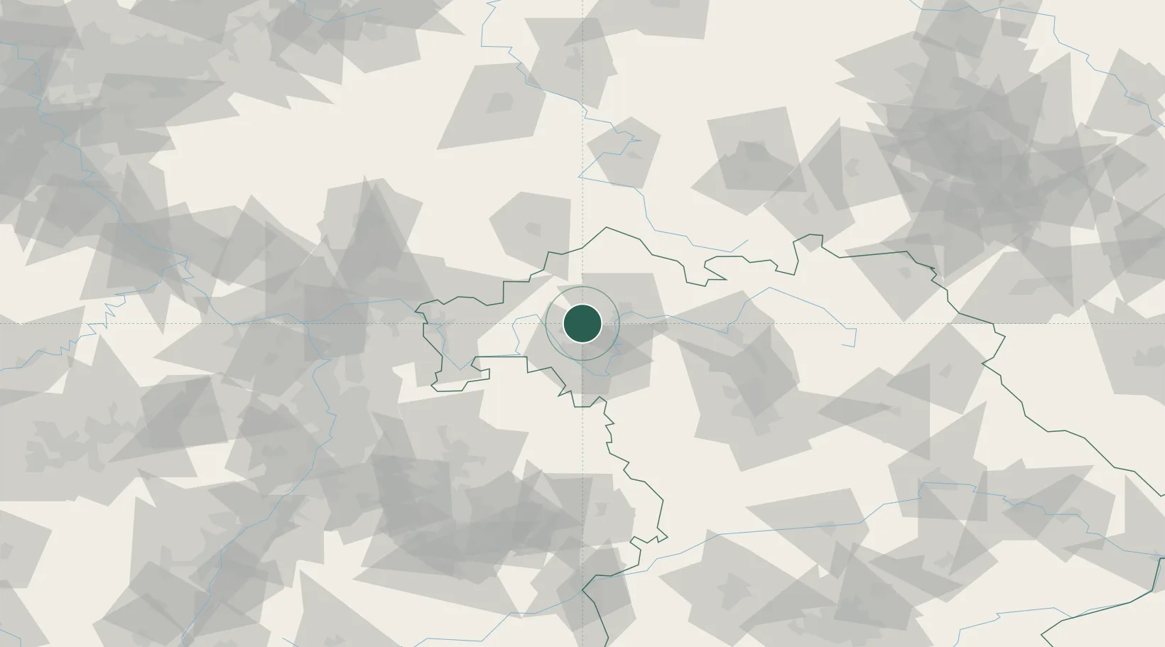
Hub Profile
Place type
Populated place
Region
Bavaria
Population
8,409
Time zone
Europe/Berlin
Elevation
221 m
Location
Nearby Logistics Neighbours
Cities
- 1Ettleben11 km
- 2Schwanfeld13 km
- 3Geldersheim14 km
- 4Bergrheinfeld14 km
- 5Gössenheim15 km
Airports
- 1Niederstetten Army Air Base66 km
- 2Bamberg-Breitenau Airfield67 km
- 3Nuremberg Airport95 km
- 4Frankfurt-Egelsbach Airport96 km
- 5Adolf Würth Airport97 km
Trade Zones
- 1ZFU Hautepierre227 km
- 2ZFU Neuhof227 km
- 3ZFU La Cité Behren-lès-Forbach238 km
- 4Luxembourg Free Port273 km
- 5Rheinische Revier SWZ275 km
DatabookThe Record of Consolidated Knowledge
Germany beyond logistics?