Transport Functions
Multimodal
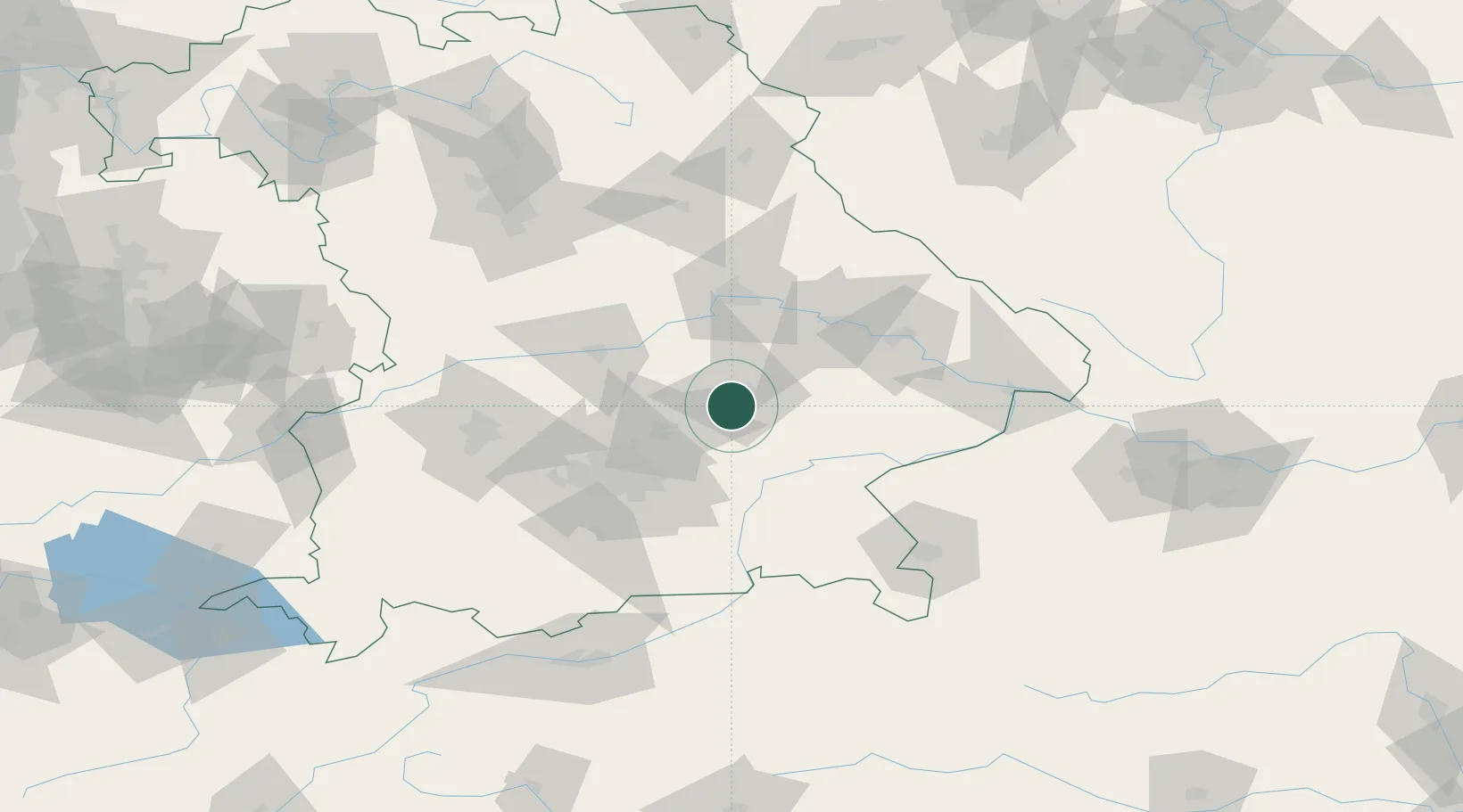
Hub Profile
Region
BY
Location
Nearby Logistics Neighbours
Cities
- 1Eching/Landshut3 km
- 2Munchsdorf7 km
- 3Gammelsdorf12 km
- 4Blumberg15 km
- 5Altdorf15 km
Ports
- 1Nogaro315 km
- 2Monfalcone321 km
- 3Grado325 km
- 4Trieste340 km
- 5Porto Di Lido-Venezia344 km
Airports
- 1Landshut Airfield5 km
- 2Munich Airport28 km
- 3Ingolstadt Manching Airport48 km
- 4Altstetten Ultralight Field64 km
- 5Neuburg Air Base69 km
Trade Zones
DatabookThe Record of Consolidated Knowledge
Germany beyond logistics?