Transport Functions
Rail
Road
Multimodal
Hub Profile
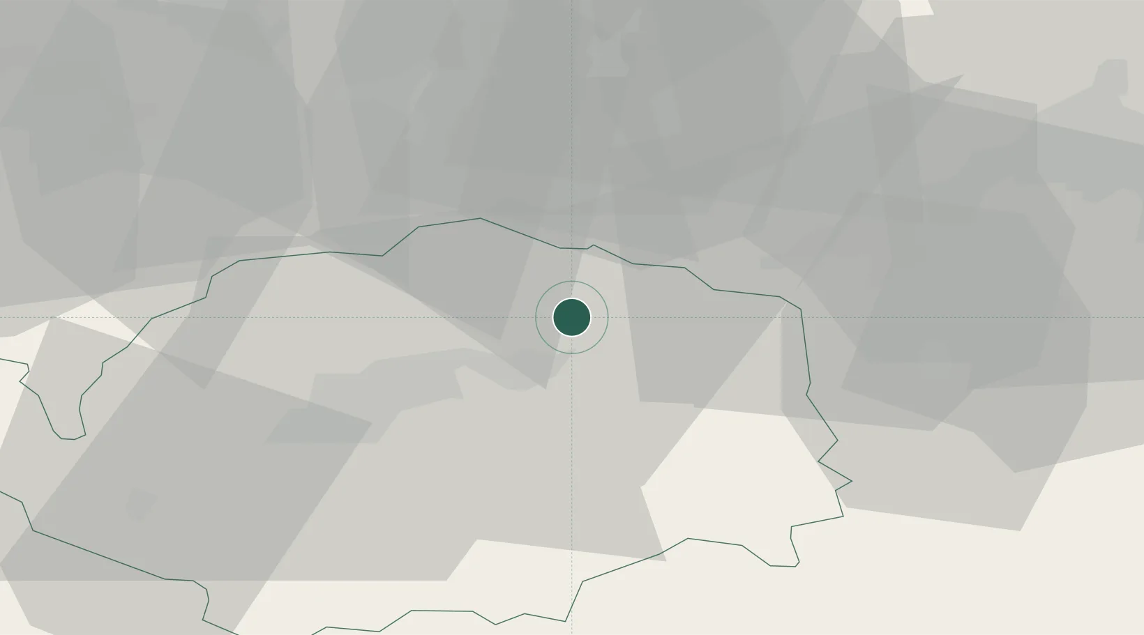
Place type
Populated place
Region
Karlovarský kraj
Population
15,681
Time zone
Europe/Prague
Elevation
398 m
Location
Nearby Logistics Neighbours
Cities
- 1Hroznetin5 km
- 2Merklin u Karlovych Var6 km
- 3Merklín6 km
- 4Dalovice8 km
- 5Bozí Dar11 km
Ports
- 1Szczecin362 km
- 2Police378 km
- 3Swinoujscie411 km
- 4Wismar411 km
- 5Hamburg414 km
Airports
- 1Karlovy Vary Airport13 km
- 2Plzeň-Líně Airport75 km
- 3Hof-Plauen Airport77 km
- 4Leipzig–Altenburg Airport80 km
- 5Václav Havel Airport Prague97 km
Trade Zones
DatabookThe Record of Consolidated Knowledge
Czechia beyond logistics?