Transport Functions
Rail
Road
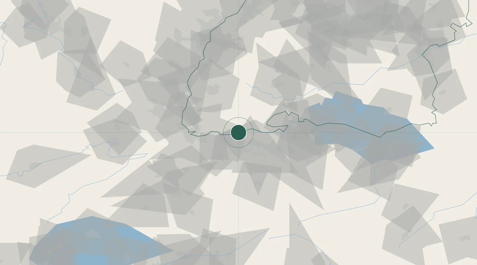
Hub Profile
Place type
Populated place
Region
Baden-Wurttemberg
Time zone
Europe/Berlin
Elevation
317 m
Location
Nearby Logistics Neighbours
Cities
- 1Wil4 km
- 2Rickenbach10 km
- 3Eiken10 km
- 4Frick11 km
- 5Klingnau11 km
Ports
- 1Genova360 km
- 2Savona365 km
- 3Rada Di Vado370 km
- 4Chiavari - Lavagna377 km
- 5Porto Di Lido-Venezia410 km
Airports
- 1Zürich Airport36 km
- 2EuroAirport Basel–Mulhouse–Freiburg44 km
- 3Dübendorf Air Base46 km
- 4Donaueschingen-Villingen Airfield54 km
- 5Emmen Air Base57 km
Trade Zones
- 1ZFU Mulhouse60 km
- 2ZFU Belfort97 km
- 3ZFU Montbéliard99 km
- 4ZFU Neuhof109 km
- 5ZFU Hautepierre117 km
DatabookThe Record of Consolidated Knowledge
Germany beyond logistics?