Transport Functions
Road
Multimodal
Hub Profile
Place type
Populated place
Region
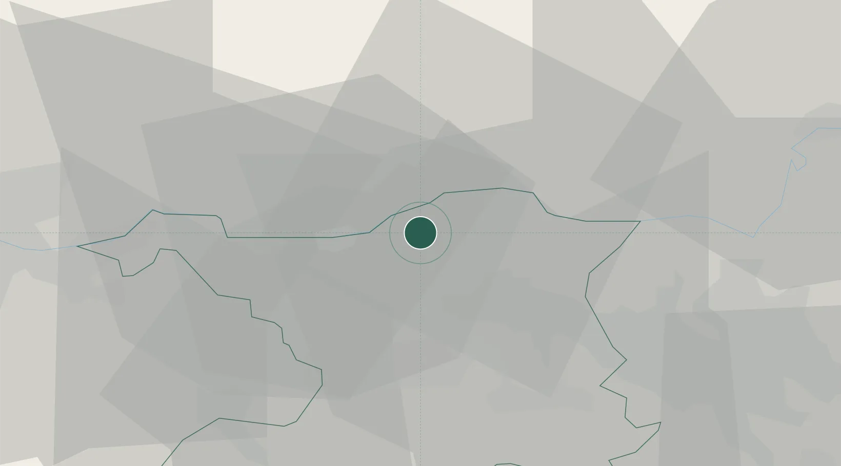
Aargau
Time zone
Europe/Zurich
Elevation
377 m
Location
Nearby Logistics Neighbours
Cities
- 1Hauenstein4 km
- 2Villigen8 km
- 3Döttingen8 km
- 4Klingnau8 km
- 5Bad Zurzach10 km
Ports
- 1Genova357 km
- 2Savona362 km
- 3Rada Di Vado368 km
- 4Chiavari - Lavagna374 km
- 5Porto Di Lido-Venezia406 km
Airports
- 1Zürich Airport32 km
- 2Dübendorf Air Base42 km
- 3EuroAirport Basel–Mulhouse–Freiburg47 km
- 4Donaueschingen-Villingen Airfield53 km
- 5Emmen Air Base54 km
Trade Zones
- 1ZFU Mulhouse64 km
- 2ZFU Belfort101 km
- 3ZFU Montbéliard103 km
- 4ZFU Neuhof112 km
- 5ZFU Hautepierre119 km
DatabookThe Record of Consolidated Knowledge
Switzerland beyond logistics?