Transport Functions
Port
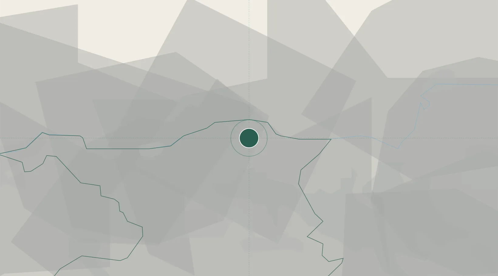
Hub Profile
Place type
Populated place
Region
Aargau
Population
3,069
Time zone
Europe/Zurich
Elevation
335 m
Location
Nearby Logistics Neighbours
Cities
- 1Döttingen2 km
- 2Bad Zurzach3 km
- 3Rekingen7 km
- 4Wil8 km
- 5Villigen8 km
Ports
- 1Genova358 km
- 2Savona364 km
- 3Rada Di Vado369 km
- 4Chiavari - Lavagna374 km
- 5Porto Di Lido-Venezia401 km
Airports
- 1Zürich Airport26 km
- 2Dübendorf Air Base36 km
- 3Donaueschingen-Villingen Airfield48 km
- 4EuroAirport Basel–Mulhouse–Freiburg55 km
- 5Emmen Air Base55 km
Trade Zones
- 1ZFU Mulhouse71 km
- 2ZFU Belfort109 km
- 3ZFU Montbéliard110 km
- 4ZFU Neuhof112 km
- 5ZFU Hautepierre120 km
DatabookThe Record of Consolidated Knowledge
Switzerland beyond logistics?