Transport Functions
Rail
Road
Multimodal
Hub Profile
Place type
Populated place
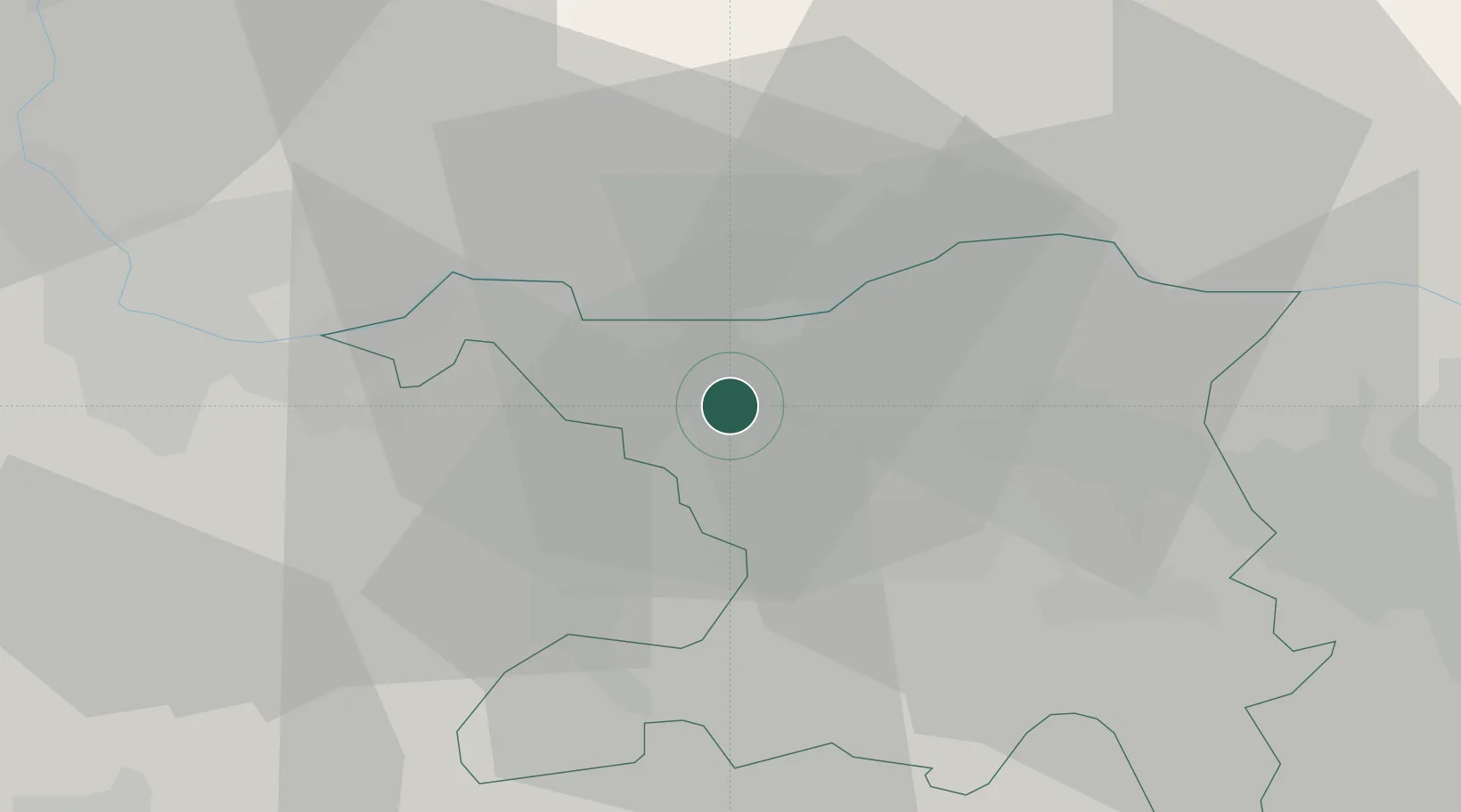
Region
Aargau
Population
4,583
Time zone
Europe/Zurich
Elevation
352 m
Location
Nearby Logistics Neighbours
Cities
- 1Eiken5 km
- 2Stein6 km
- 3Zeihen6 km
- 4Mumpf9 km
- 5Hauenstein11 km
Ports
- 1Genova352 km
- 2Savona356 km
- 3Rada Di Vado361 km
- 4Chiavari - Lavagna369 km
- 5Imperia402 km
Airports
- 1EuroAirport Basel–Mulhouse–Freiburg39 km
- 2Zürich Airport40 km
- 3Dübendorf Air Base49 km
- 4Emmen Air Base50 km
- 5Grenchen Airfield57 km
Trade Zones
- 1ZFU Mulhouse58 km
- 2ZFU Belfort92 km
- 3ZFU Montbéliard92 km
- 4ZFU Neuhof117 km
- 5ZFU Hautepierre124 km
DatabookThe Record of Consolidated Knowledge
Switzerland beyond logistics?