Transport Functions
Road
Multimodal
Hub Profile
Place type
Local administrative seat
Region
Baden-Wurttemberg
Population
3,875
Time zone
Europe/Berlin
Elevation
725 m
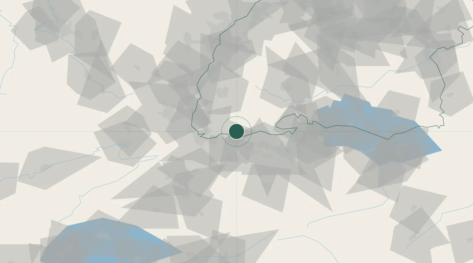
Location
Nearby Logistics Neighbours
Cities
- 1Wehr6 km
- 2Mumpf9 km
- 3Eiken9 km
- 4Hauenstein10 km
- 5Stein10 km
Ports
- 1Genova365 km
- 2Savona369 km
- 3Rada Di Vado375 km
- 4Chiavari - Lavagna383 km
- 5Imperia415 km
Airports
- 1EuroAirport Basel–Mulhouse–Freiburg35 km
- 2Zürich Airport46 km
- 3Dübendorf Air Base56 km
- 4Donaueschingen-Villingen Airfield57 km
- 5Emmen Air Base63 km
Trade Zones
- 1ZFU Mulhouse51 km
- 2ZFU Belfort88 km
- 3ZFU Montbéliard91 km
- 4ZFU Neuhof104 km
- 5ZFU Hautepierre111 km
DatabookThe Record of Consolidated Knowledge
Germany beyond logistics?