Transport Functions
Rail
Road
Hub Profile
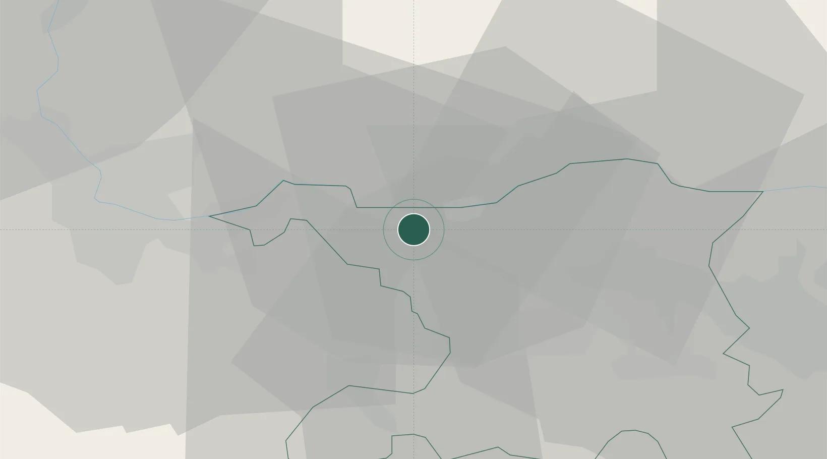
Place type
Populated place
Region
Aargau
Population
1,923
Time zone
Europe/Zurich
Elevation
327 m
Location
Nearby Logistics Neighbours
Cities
- 1Stein3 km
- 2Frick5 km
- 3Mumpf5 km
- 4Rickenbach9 km
- 5Hauenstein10 km
Ports
- 1Genova356 km
- 2Savona360 km
- 3Rada Di Vado365 km
- 4Chiavari - Lavagna374 km
- 5Imperia406 km
Airports
- 1EuroAirport Basel–Mulhouse–Freiburg36 km
- 2Zürich Airport43 km
- 3Dübendorf Air Base52 km
- 4Emmen Air Base55 km
- 5Grenchen Airfield58 km
Trade Zones
- 1ZFU Mulhouse54 km
- 2ZFU Belfort89 km
- 3ZFU Montbéliard90 km
- 4ZFU Neuhof113 km
- 5ZFU Hautepierre120 km
DatabookThe Record of Consolidated Knowledge
Switzerland beyond logistics?