UN/LOCODE hub · Germany
DEOSN

Osnabrück

52.3017°, 7.9873°
3
Transport functions

Transport Functions

Port
Rail
Road
UN/LOCODE

Hub Profile

Region
NI
GeoNames
Logistics facilities
2
UN/LOCODE

Location

Location of DEOSN
Natural Earth 10m (public domain) · NI · DEOSN · 52.30, 7.99GoogleOSMYandex

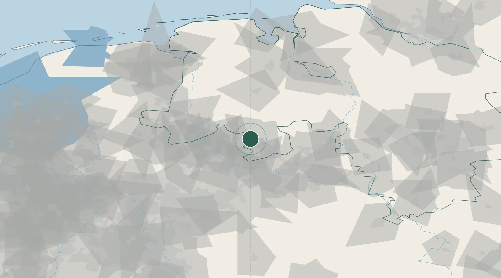
Nearby Logistics Neighbours

Cities
  1. 1Piesberger3 km
  2. 2Pente9 km
  3. 3Belm10 km
  4. 4Hagen am Teutoburger Wald11 km
  5. 5Achmer12 km
Nearest neighbours — logibook spatial index (haversine) over the source coordinates
Ports
  1. 1Oldenburg92 km
  2. 2Papenburg98 km
  3. 3Bremen106 km
  4. 4Elsfleth109 km
  5. 5Leer110 km
Nearest neighbours — logibook spatial index (haversine) over the source coordinates
Airports
  1. 1Münster Osnabrück Airport28 km
  2. 2Diepholz Air Base40 km
  3. 3Bielefeld Airport53 km
  4. 4Bückeburg Air Base75 km
  5. 5Twente Airport75 km
Nearest neighbours — logibook spatial index (haversine) over the source coordinates
Trade Zones
  1. 1Freeport of Bremerhaven (Freihafen Bremerhaven)103 km
  2. 2Freeport of Emden127 km
  3. 3Freeport of Duisburg135 km
  4. 4Freeport of Cuxhaven (Freihafen Cuxhaven)174 km
  5. 5Rheinische Revier SWZ191 km
Nearest neighbours — logibook spatial index (haversine) over the source coordinates
DatabookThe Record of Consolidated Knowledge
Germany beyond logistics?
Browse databook

All Sources

LocationsUN/LOCODE
UN/LOCODE — free
Portsthe NGA World Port Index
Public domain (US gov)
AirportsOurAirports
Public domain
Trade Zonesthe World Bank SEZ database
CC BY 4.0
Trade ZonesOpen Zone Map
CC BY
← Germany locations