Transport Functions
Port
Rail
Road
Multimodal
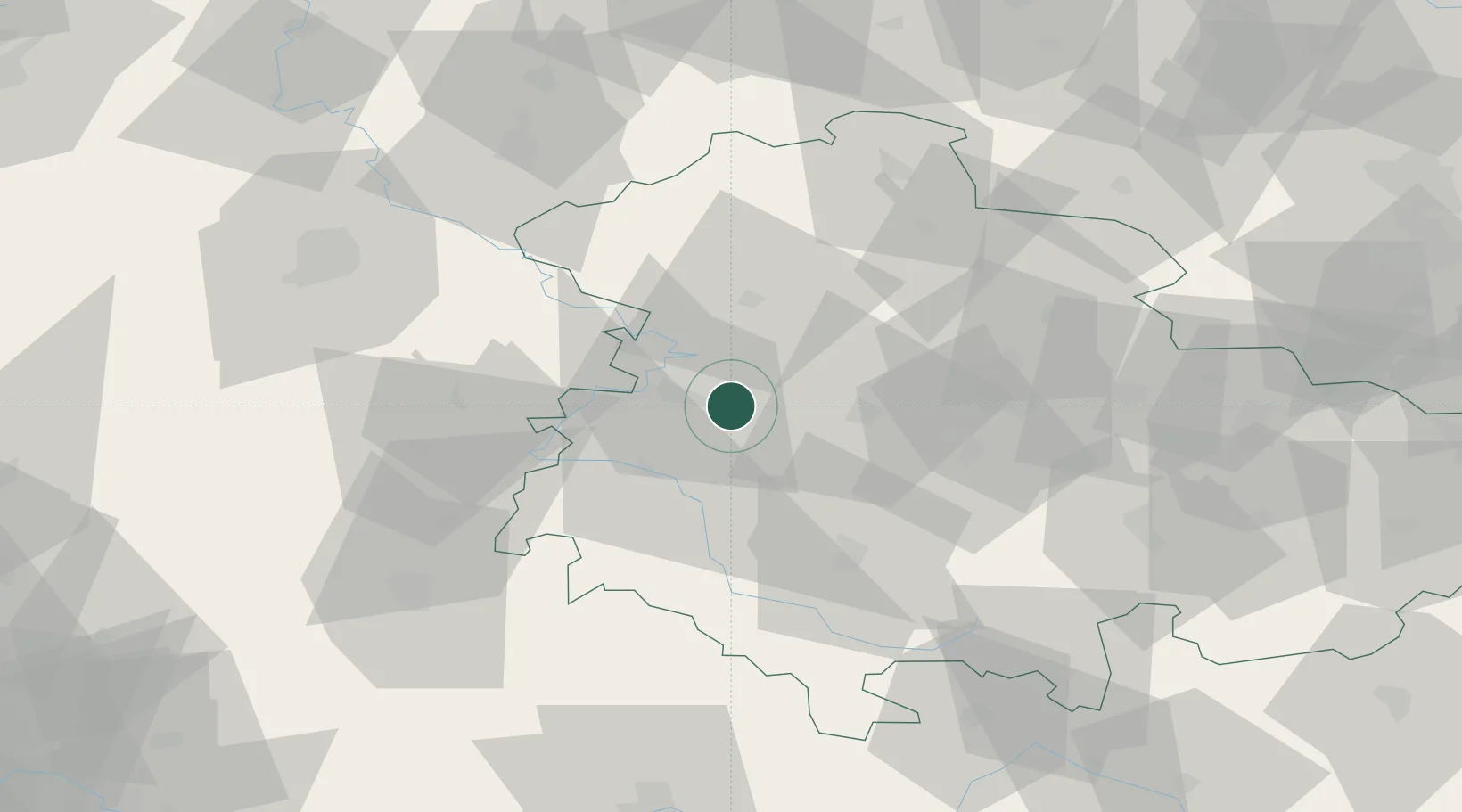
Hub Profile
Region
TH
Location
Nearby Logistics Neighbours
Cities
- 1Waltershausen13 km
- 2Förtha13 km
- 3Friedrichroda15 km
- 4Leina16 km
- 5Brotterode17 km
Airports
- 1Eisenach-Kindel Airport5 km
- 2Erfurt-Weimar Airport38 km
- 3Fritzlar Army Airfield81 km
- 4Kassel Airport87 km
- 5Bamberg-Breitenau Airfield122 km
Trade Zones
DatabookThe Record of Consolidated Knowledge
Germany beyond logistics?