Transport Functions
Multimodal
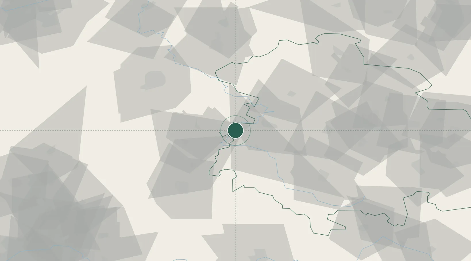
Hub Profile
Place type
Local administrative seat
Region
Thuringia
Population
3,865
Time zone
Europe/Berlin
Elevation
218 m
Location
Nearby Logistics Neighbours
Cities
- 1Heringen9 km
- 2Förtha12 km
- 3Dorndorf13 km
- 4Tiefenort15 km
- 5Weissenborn21 km
Airports
- 1Eisenach-Kindel Airport29 km
- 2Fritzlar Army Airfield58 km
- 3Erfurt-Weimar Airport63 km
- 4Kassel Airport70 km
- 5Paderborn Lippstadt Airport125 km
Trade Zones
DatabookThe Record of Consolidated Knowledge
Germany beyond logistics?