Transport Functions
Multimodal
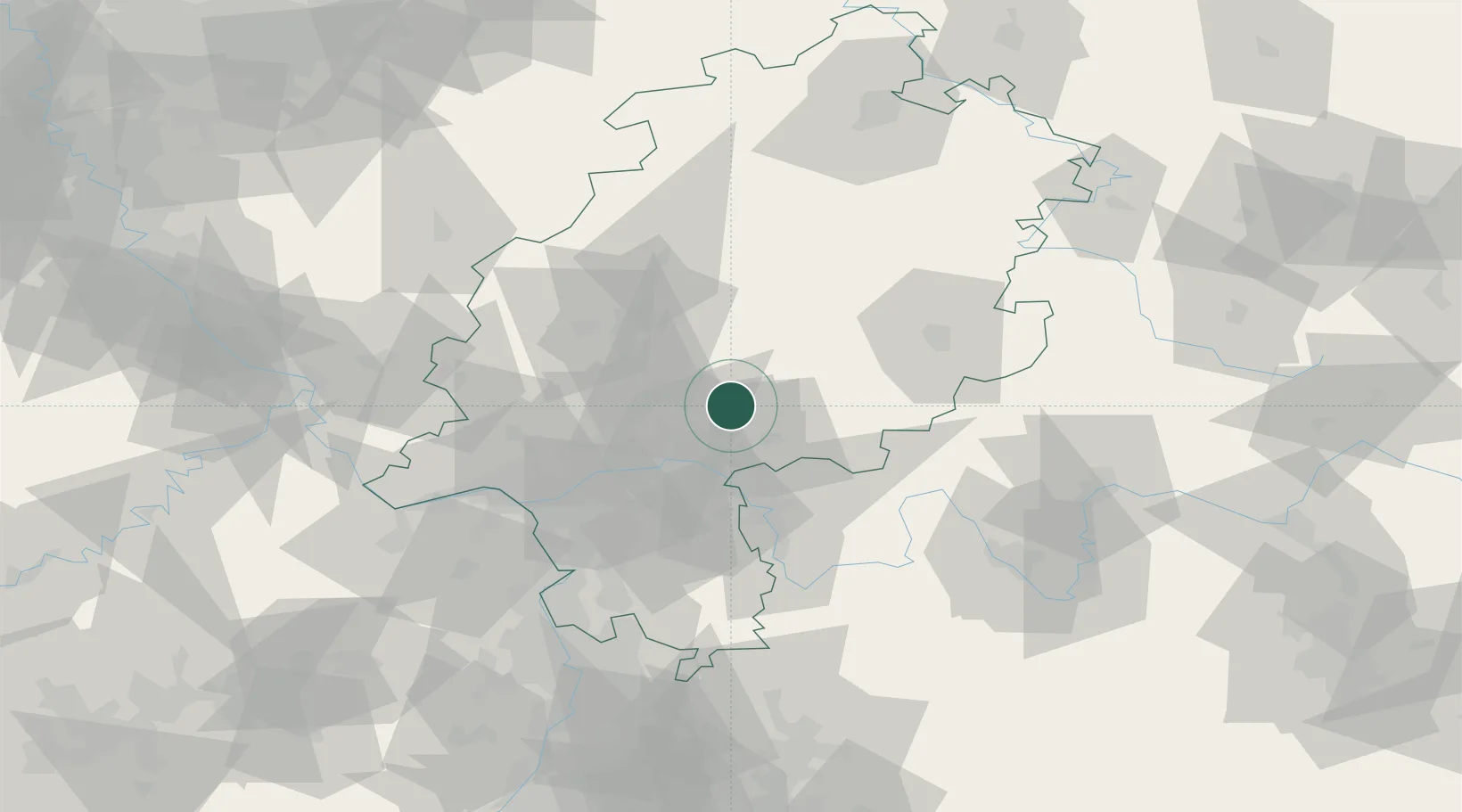
Hub Profile
Place type
Local administrative seat
Region
Hesse
Population
3,147
Time zone
Europe/Berlin
Elevation
131 m
Location
Nearby Logistics Neighbours
Cities
- 1Ranstadt4 km
- 2Florstadt11 km
- 3Hirzenhain13 km
- 4Kefenrod15 km
- 5Neuberg15 km
Airports
- 1Frankfurt Main Airport45 km
- 2Frankfurt-Egelsbach Airport47 km
- 3Wiesbaden Army Airfield57 km
- 4Mainz-Finthen Airfield72 km
- 5Siegerland Airport78 km
Trade Zones
- 1Rheinische Revier SWZ196 km
- 2ZFU La Cité Behren-lès-Forbach196 km
- 3Freeport of Duisburg211 km
- 4Luxembourg Free Port212 km
- 5ZFU Hautepierre214 km
DatabookThe Record of Consolidated Knowledge
Germany beyond logistics?