UN/LOCODE hub · Germany
DEKEF

Kefenrod

50.3500°, 9.2000°
3,101
Population
2
Transport functions

Transport Functions

Road
Multimodal
UN/LOCODE

Hub Profile

Place type
Local administrative seat
GeoNames
Region
Hesse
GeoNames
Population
3,101
GeoNames
Time zone
Europe/Berlin
GeoNames
Elevation
261 m
GeoNames

Location

Location of DEKEF
Natural Earth 10m (public domain) · Hesse · DEKEF · 50.35, 9.20GoogleOSMYandex

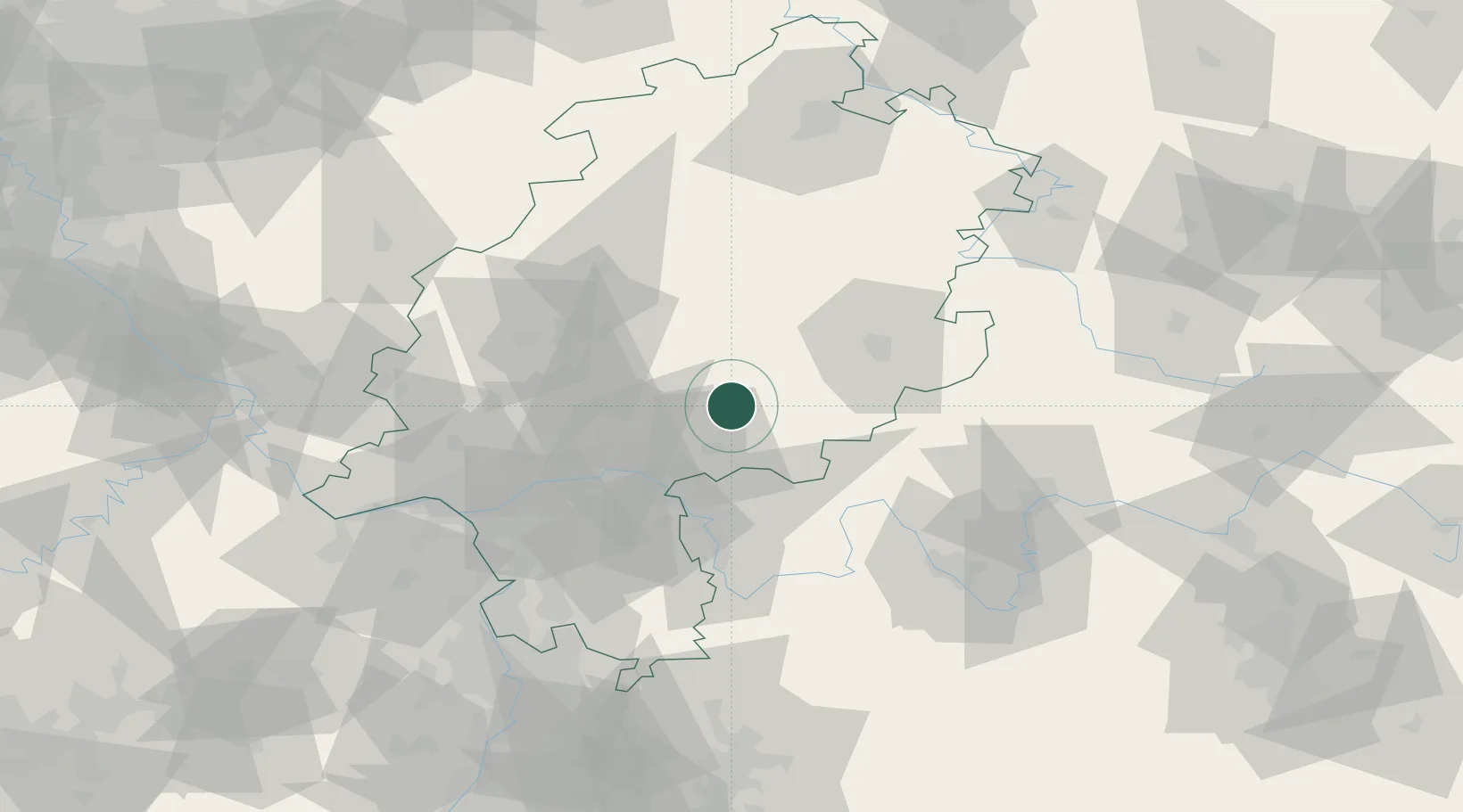
Nearby Logistics Neighbours

Cities
  1. 1Hirzenhain7 km
  2. 2Glauburg15 km
  3. 3Ranstadt15 km
  4. 4Freiensteinau17 km
  5. 5Biebergemünd22 km
Nearest neighbours — logibook spatial index (haversine) over the source coordinates
Ports
  1. 1Bremen311 km
  2. 2Oldenburg315 km
  3. 3Elsfleth325 km
  4. 4Papenburg330 km
  5. 5Brake335 km
Nearest neighbours — logibook spatial index (haversine) over the source coordinates
Airports
  1. 1Frankfurt Main Airport58 km
  2. 2Frankfurt-Egelsbach Airport59 km
  3. 3Wiesbaden Army Airfield71 km
  4. 4Fritzlar Army Airfield85 km
  5. 5Mainz-Finthen Airfield86 km
Nearest neighbours — logibook spatial index (haversine) over the source coordinates
Trade Zones
  1. 1Rheinische Revier SWZ208 km
  2. 2ZFU La Cité Behren-lès-Forbach210 km
  3. 3Freeport of Duisburg220 km
  4. 4ZFU Hautepierre224 km
  5. 5ZFU Neuhof226 km
Nearest neighbours — logibook spatial index (haversine) over the source coordinates
DatabookThe Record of Consolidated Knowledge
Germany beyond logistics?
Browse databook

All Sources

LocationsUN/LOCODE
UN/LOCODE — free
LocationsGeoNames
CC BY 4.0
Portsthe NGA World Port Index
Public domain (US gov)
AirportsOurAirports
Public domain
Trade Zonesthe World Bank SEZ database
CC BY 4.0
Trade ZonesOpen Zone Map
CC BY
← Germany locations