Transport Functions
Rail
Road
Hub Profile
Region
MV
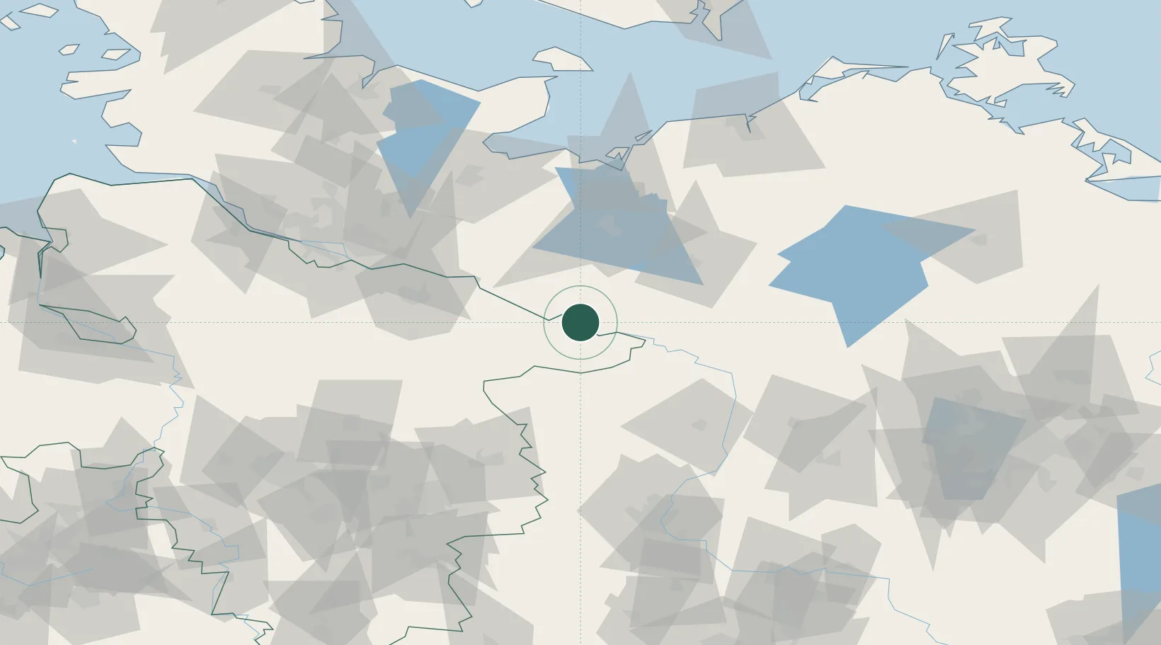
Location
Nearby Logistics Neighbours
Cities
- 1Neu Kaliss4 km
- 2Malliss10 km
- 3Gorleben12 km
- 4Lenzen13 km
- 5Hitzacker14 km
Ports
- 1Wismar86 km
- 2Lubeck91 km
- 3Lubeck-Travemunde96 km
- 4Hamburg99 km
- 5Neustadt111 km
Airports
- 1Faßberg Air Base75 km
- 2Lübeck Blankensee Airport83 km
- 3Hamburg Helmut Schmidt Airport100 km
- 4Braunschweig-Wolfsburg Airport102 km
- 5Celle Army Airfield102 km
Trade Zones
DatabookThe Record of Consolidated Knowledge
Germany beyond logistics?