UN/LOCODE hub · Germany
DEZFG
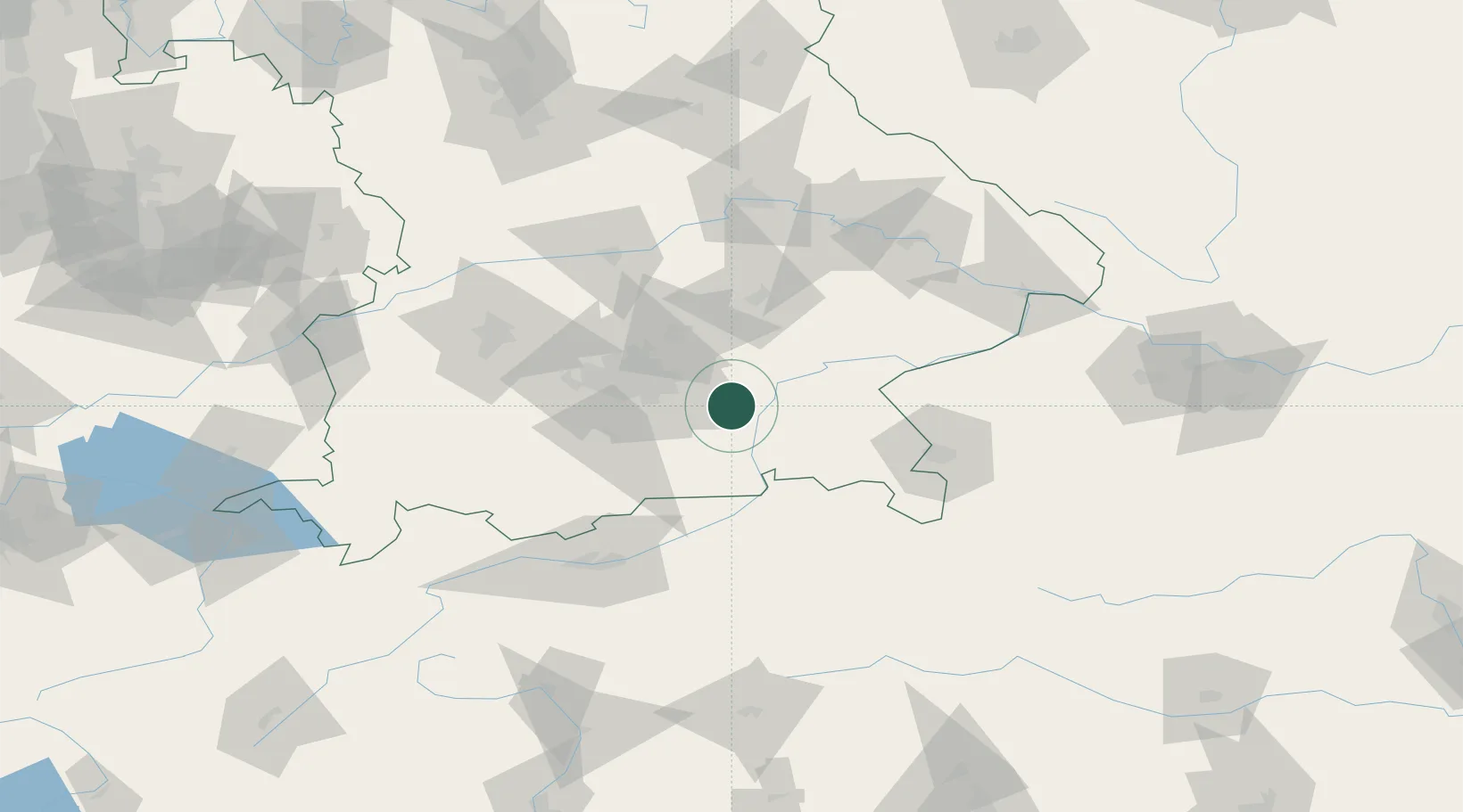
Frauenneuharting
48.0333°, 12.0333°
1,416
Population
1
Transport functions
Transport Functions
Multimodal
Hub Profile
Place type
Populated place
Region
Bavaria
Population
1,416
Time zone
Europe/Berlin
Elevation
527 m
Location
Nearby Logistics Neighbours
Cities
- 1Grafing5 km
- 2Babensham7 km
- 3Edling10 km
- 4Limburg11 km
- 5Kirchseeon12 km
Ports
- 1Nogaro267 km
- 2Monfalcone275 km
- 3Grado277 km
- 4Porto Di Lido-Venezia293 km
- 5Trieste295 km
Airports
- 1Munich Airport40 km
- 2Landshut Airfield53 km
- 3Oberpfaffenhofen Airport56 km
- 4Altstetten Ultralight Field63 km
- 5Salzburg Airport77 km
Trade Zones
- 1Freeport of Deggendorf111 km
- 2Livigno Free Trade Zone222 km
- 3Podbořany Industrial Zone264 km
- 4Žatec - Triangle Strategic Industrial Zone284 km
- 5Free Port of Venice290 km
DatabookThe Record of Consolidated Knowledge
Germany beyond logistics?