Transport Functions
Rail
Road
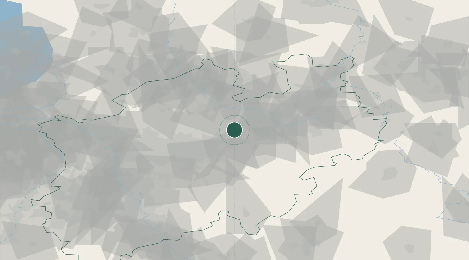
Hub Profile
Place type
Local administrative seat
Region
North Rhine-Westphalia
Population
55,280
Time zone
Europe/Berlin
Elevation
82 m
Location
Nearby Logistics Neighbours
Cities
- 1Rosendahl3 km
- 2Beckum8 km
- 3Hamm11 km
- 4Drensteinfurt14 km
- 5Lippetal16 km
Airports
- 1Dortmund Airport33 km
- 2Münster Osnabrück Airport46 km
- 3Bielefeld Airport49 km
- 4Paderborn Lippstadt Airport51 km
- 5Twente Airport92 km
Trade Zones
DatabookThe Record of Consolidated Knowledge
Germany beyond logistics?