Transport Functions
Rail
Road
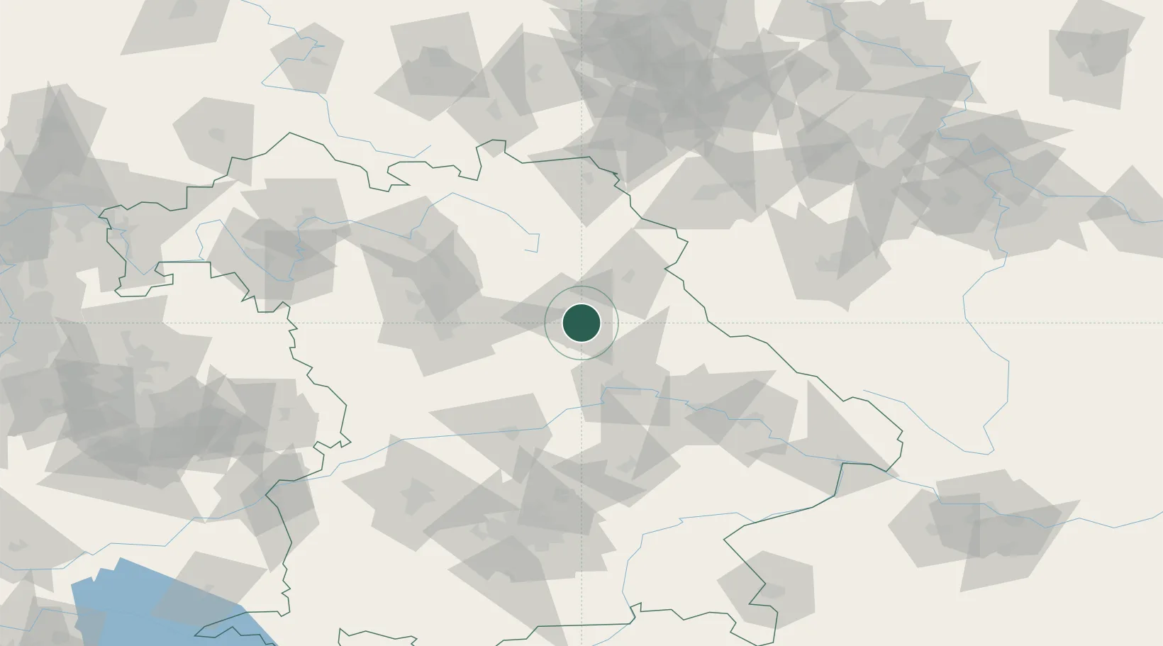
Hub Profile
Region
BY
Location
Nearby Logistics Neighbours
Cities
- 1Amberg2 km
- 2Moosburg7 km
- 3Mausdorf11 km
- 4Gebenbach13 km
- 5Illschwang15 km
Ports
- 1Nogaro418 km
- 2Monfalcone423 km
- 3Grado427 km
- 4Trieste441 km
- 5Porto Di Lido-Venezia447 km
Airports
- 1Hohenfels Army Airfield23 km
- 2Grafenwöhr Army Air Field32 km
- 3Nuremberg Airport59 km
- 4Bayreuth Airport66 km
- 5Ingolstadt Manching Airport82 km
Trade Zones
DatabookThe Record of Consolidated Knowledge
Germany beyond logistics?