Transport Functions
Multimodal
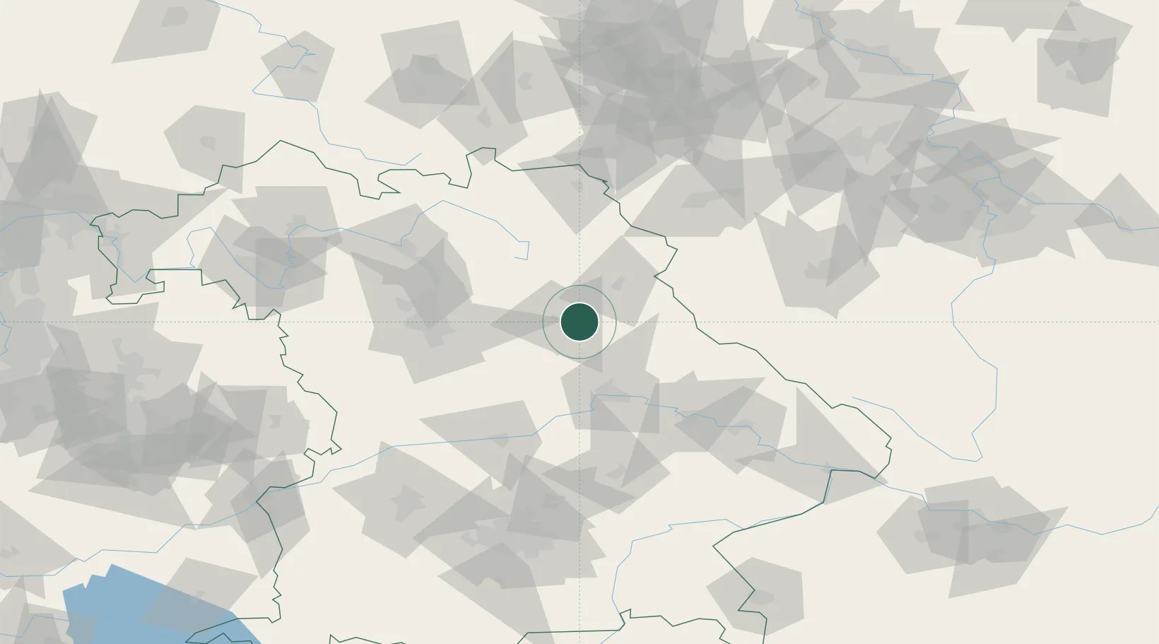
Hub Profile
Place type
Populated place
Region
Bavaria
Time zone
Europe/Berlin
Elevation
391 m
Location
Nearby Logistics Neighbours
Ports
- 1Nogaro423 km
- 2Monfalcone427 km
- 3Grado432 km
- 4Trieste446 km
- 5Muggia451 km
Airports
- 1Grafenwöhr Army Air Field26 km
- 2Hohenfels Army Airfield29 km
- 3Bayreuth Airport61 km
- 4Nuremberg Airport62 km
- 5Ingolstadt Manching Airport88 km
Trade Zones
DatabookThe Record of Consolidated Knowledge
Germany beyond logistics?