Transport Functions
Multimodal
Hub Profile
Place type
Local administrative seat
Region
Bavaria
Population
923
Time zone
Europe/Berlin
Elevation
447 m
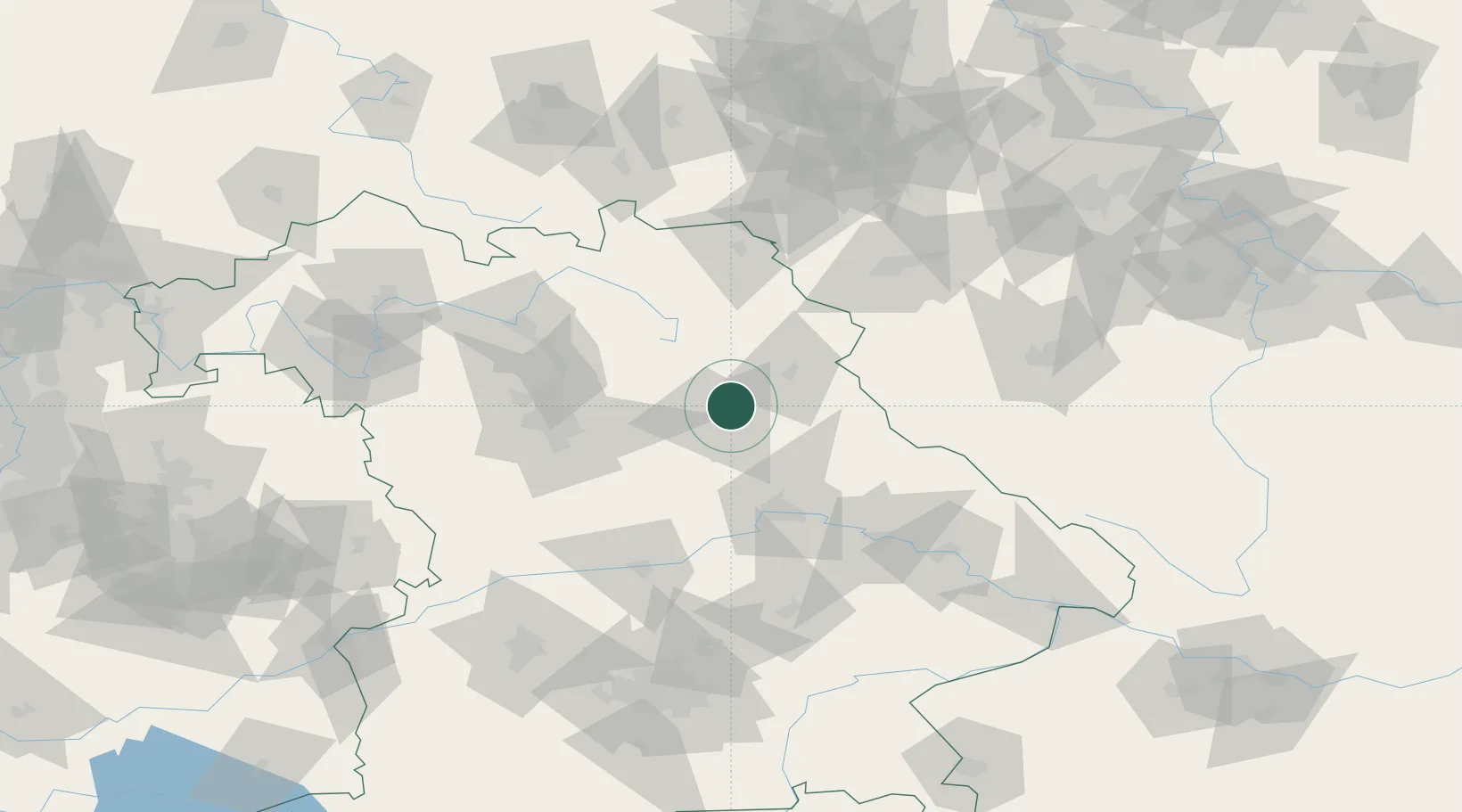
Location
Nearby Logistics Neighbours
Cities
- 1Mausdorf2 km
- 2Moosburg8 km
- 3Freihung10 km
- 4Amberg11 km
- 5Weissenberg12 km
Ports
- 1Nogaro431 km
- 2Monfalcone435 km
- 3Grado440 km
- 4Trieste454 km
- 5Bremen455 km
Airports
- 1Grafenwöhr Army Air Field19 km
- 2Hohenfels Army Airfield35 km
- 3Bayreuth Airport53 km
- 4Nuremberg Airport58 km
- 5Bamberg-Breitenau Airfield82 km
Trade Zones
DatabookThe Record of Consolidated Knowledge
Germany beyond logistics?