Transport Functions
Road
Multimodal
Hub Profile
Place type
Populated place
Region
Bavaria
Time zone
Europe/Berlin
Elevation
435 m
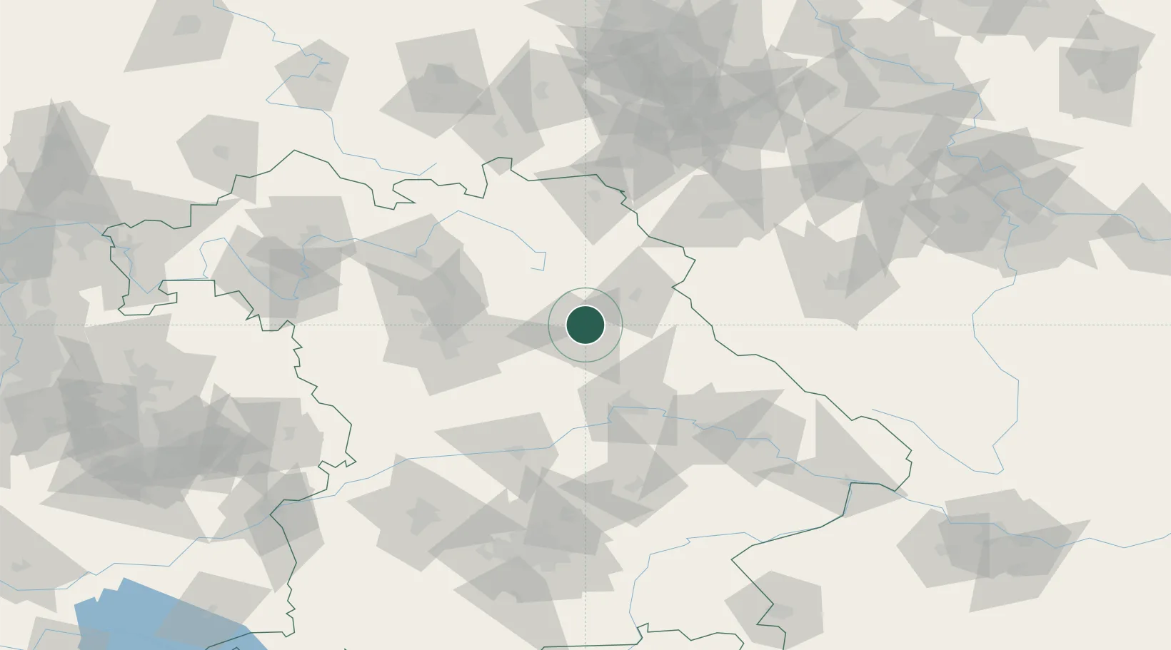
Location
Nearby Logistics Neighbours
Ports
- 1Nogaro429 km
- 2Monfalcone434 km
- 3Grado438 km
- 4Trieste452 km
- 5Bremen456 km
Airports
- 1Grafenwöhr Army Air Field21 km
- 2Hohenfels Army Airfield33 km
- 3Bayreuth Airport55 km
- 4Nuremberg Airport57 km
- 5Bamberg-Breitenau Airfield82 km
Trade Zones
DatabookThe Record of Consolidated Knowledge
Germany beyond logistics?