Transport Functions
Port
Rail
Road
Hub Profile
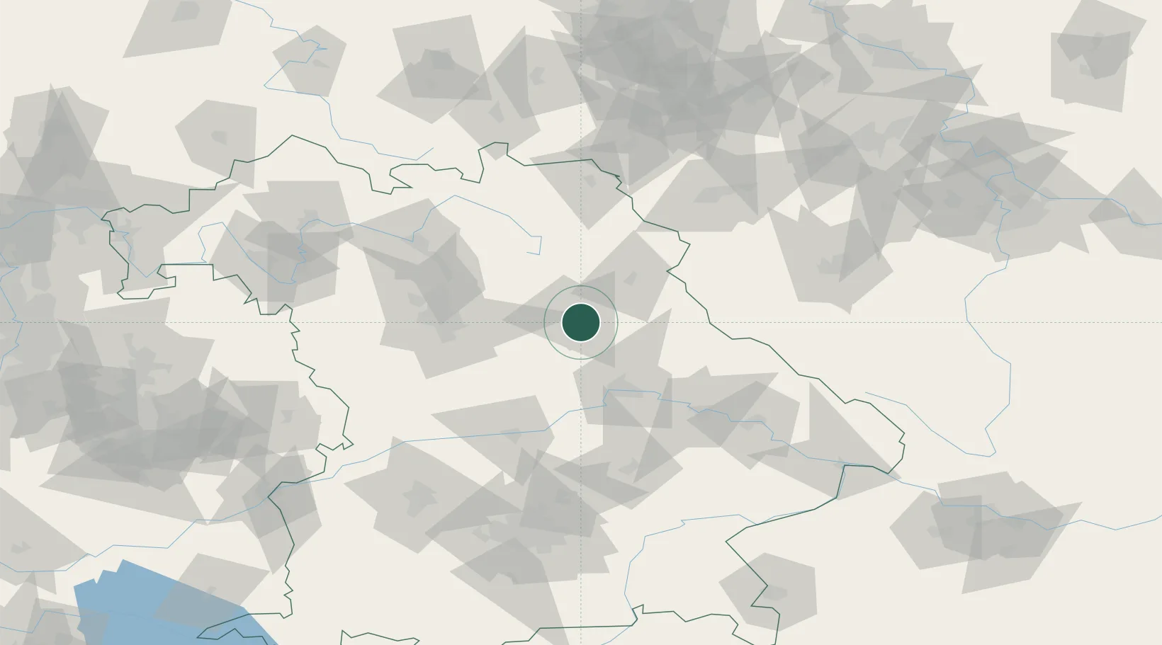
Place type
District seat
Region
Bavaria
Population
44,737
Time zone
Europe/Berlin
Elevation
373 m
Location
Nearby Logistics Neighbours
Cities
- 1Haselmühl2 km
- 2Moosburg6 km
- 3Mausdorf9 km
- 4Gebenbach11 km
- 5Illschwang13 km
Ports
- 1Nogaro420 km
- 2Monfalcone425 km
- 3Grado429 km
- 4Trieste444 km
- 5Porto Di Lido-Venezia449 km
Airports
- 1Hohenfels Army Airfield24 km
- 2Grafenwöhr Army Air Field30 km
- 3Nuremberg Airport58 km
- 4Bayreuth Airport64 km
- 5Ingolstadt Manching Airport83 km
Trade Zones
DatabookThe Record of Consolidated Knowledge
Germany beyond logistics?