Transport Functions
Multimodal
Hub Profile
Place type
Local administrative seat
Region
Bavaria
Population
2,091
Time zone
Europe/Berlin
Elevation
488 m
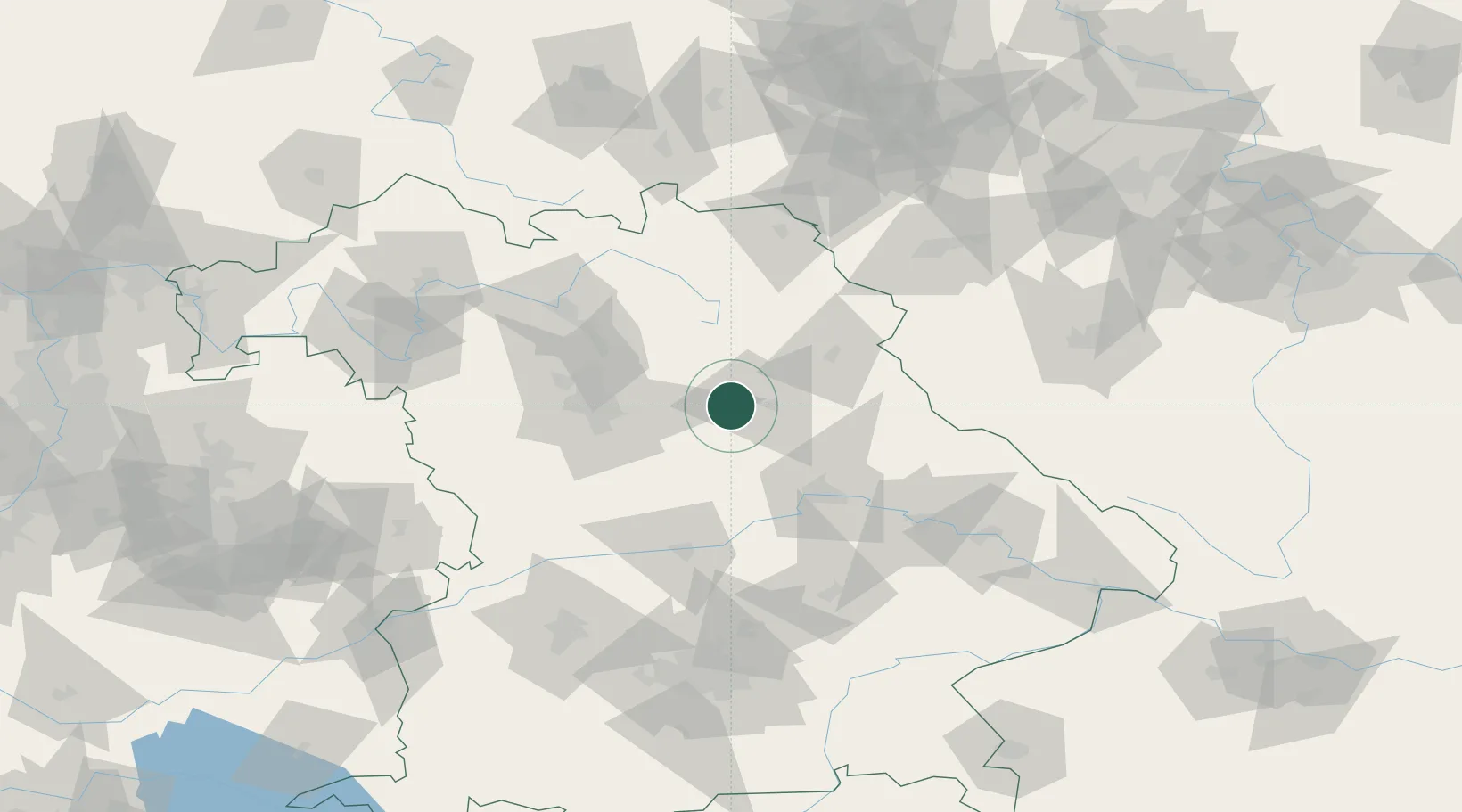
Location
Nearby Logistics Neighbours
Cities
- 1Weigendorf10 km
- 2Pommelsbrunn13 km
- 3Amberg13 km
- 4Haselmühl15 km
- 5Mausdorf15 km
Ports
- 1Nogaro425 km
- 2Monfalcone431 km
- 3Grado435 km
- 4Trieste450 km
- 5Porto Di Lido-Venezia452 km
Airports
- 1Hohenfels Army Airfield28 km
- 2Grafenwöhr Army Air Field33 km
- 3Nuremberg Airport44 km
- 4Bayreuth Airport60 km
- 5Bamberg-Breitenau Airfield76 km
Trade Zones
DatabookThe Record of Consolidated Knowledge
Germany beyond logistics?