Transport Functions
Multimodal
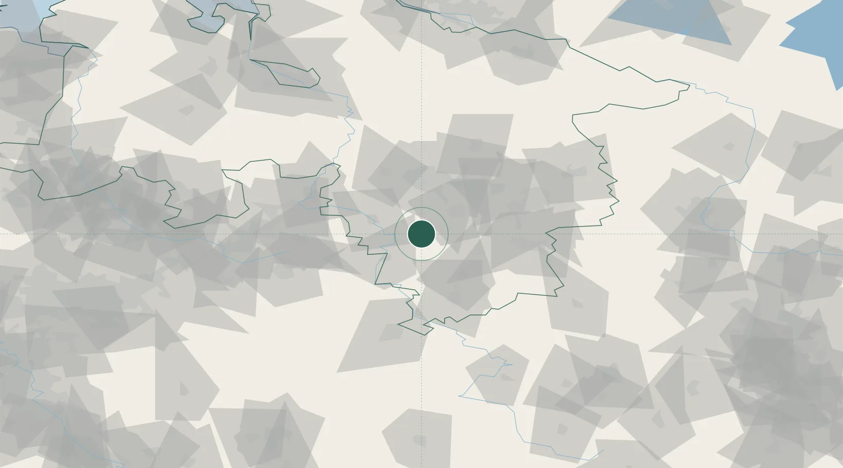
Hub Profile
Place type
Populated place
Region
Lower Saxony
Population
3,116
Time zone
Europe/Berlin
Elevation
204 m
Location
Nearby Logistics Neighbours
Cities
- 1Elze13 km
- 2Stadtoldendorf14 km
- 3Osterwald14 km
- 4Hehlen16 km
- 5Harbarnsen18 km
Airports
- 1Hannover Airport51 km
- 2Bückeburg Air Base52 km
- 3Wunstorf Air Base54 km
- 4Kassel Airport68 km
- 5Braunschweig-Wolfsburg Airport68 km
Trade Zones
DatabookThe Record of Consolidated Knowledge
Germany beyond logistics?