Transport Functions
Rail
Road
Hub Profile
Place type
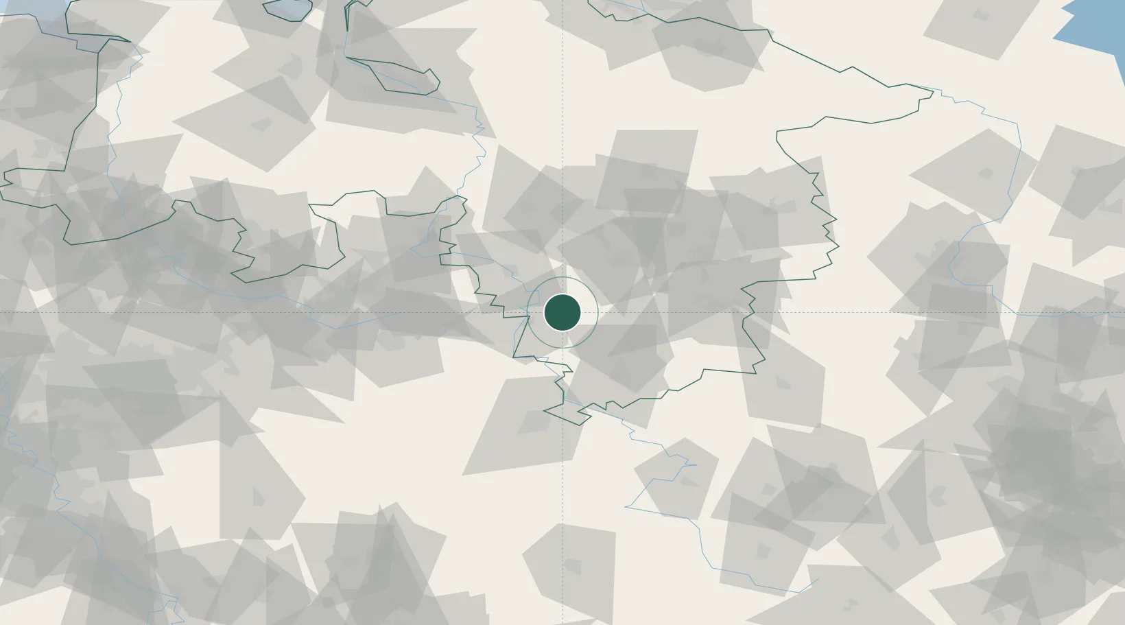
Populated place
Region
Lower Saxony
Population
6,082
Time zone
Europe/Berlin
Elevation
219 m
Location
Nearby Logistics Neighbours
Cities
- 1Duingen14 km
- 2Holzminden15 km
- 3Hehlen16 km
- 4Einbeck18 km
- 5Boffzen23 km
Airports
- 1Kassel Airport54 km
- 2Bückeburg Air Base58 km
- 3Hannover Airport64 km
- 4Wunstorf Air Base65 km
- 5Bielefeld Airport75 km
Trade Zones
DatabookThe Record of Consolidated Knowledge
Germany beyond logistics?