Transport Functions
Rail
Road
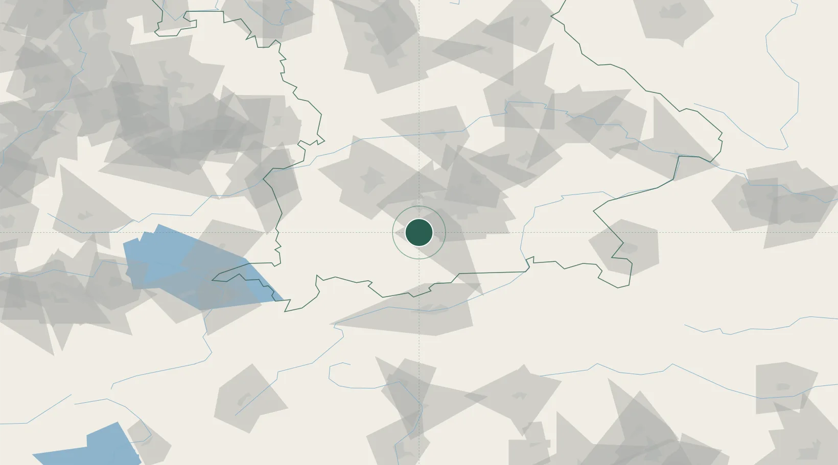
Hub Profile
Place type
Local administrative seat
Region
Bavaria
Population
4,293
Time zone
Europe/Berlin
Elevation
669 m
Location
Nearby Logistics Neighbours
Cities
- 1Ammerland5 km
- 2Pähl8 km
- 3Seeshaupt11 km
- 4Icking11 km
- 5Wielenbach12 km
Ports
- 1Nogaro281 km
- 2Grado292 km
- 3Porto Di Lido-Venezia293 km
- 4Monfalcone295 km
- 5Porto Di Chioggia310 km
Airports
- 1Oberpfaffenhofen Airport17 km
- 2Altstetten Ultralight Field42 km
- 3Lechfeld Air Base42 km
- 4Munich Airport60 km
- 5Augsburg Airport61 km
Trade Zones
- 1Freeport of Deggendorf157 km
- 2Livigno Free Trade Zone180 km
- 3ZFU Neuhof269 km
- 4ZFU Hautepierre276 km
- 5Consorzio Zona Industriale e Porto Fluviale di Padova287 km
DatabookThe Record of Consolidated Knowledge
Germany beyond logistics?