Transport Functions
Port
Road
Multimodal
Hub Profile
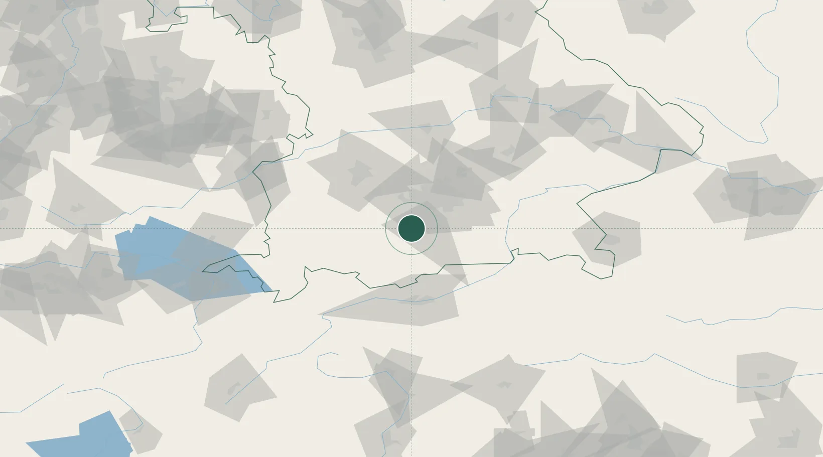
Place type
Populated place
Region
Bavaria
Time zone
Europe/Berlin
Elevation
595 m
Location
Nearby Logistics Neighbours
Cities
- 1Feldafing5 km
- 2Seeshaupt8 km
- 3Icking9 km
- 4Pähl11 km
- 5Hohenschäftlarn13 km
Ports
- 1Nogaro276 km
- 2Grado287 km
- 3Porto Di Lido-Venezia289 km
- 4Monfalcone290 km
- 5Porto Di Chioggia306 km
Airports
- 1Oberpfaffenhofen Airport21 km
- 2Altstetten Ultralight Field45 km
- 3Lechfeld Air Base47 km
- 4Munich Airport61 km
- 5Augsburg Airport66 km
Trade Zones
- 1Freeport of Deggendorf157 km
- 2Livigno Free Trade Zone178 km
- 3ZFU Neuhof274 km
- 4ZFU Hautepierre280 km
- 5Consorzio Zona Industriale e Porto Fluviale di Padova283 km
DatabookThe Record of Consolidated Knowledge
Germany beyond logistics?