Transport Functions
Rail
Road
Hub Profile
Place type
Local administrative seat
Region
Mecklenburg-Vorpommern
Population
5,041
Time zone
Europe/Berlin
Elevation
44 m
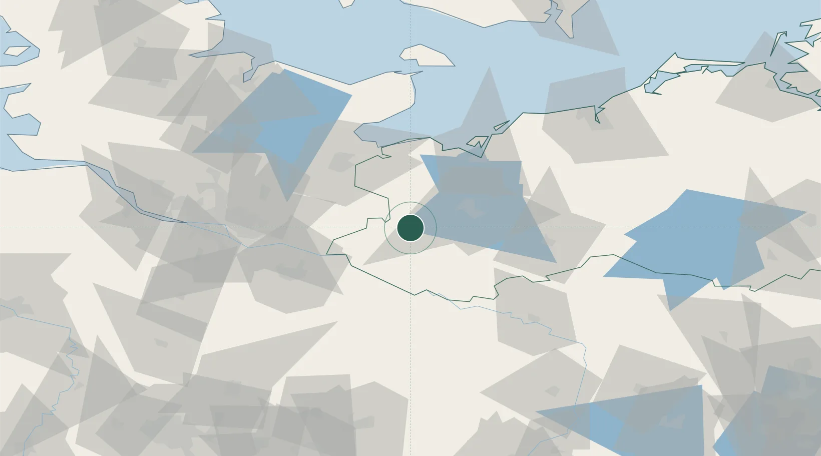
Location
Nearby Logistics Neighbours
Cities
- 1Bobzin7 km
- 2Hagenow12 km
- 3Rastow25 km
- 4Schwanheide27 km
- 5Boizenburg28 km
Ports
- 1Lubeck47 km
- 2Wismar50 km
- 3Lubeck-Travemunde52 km
- 4Neustadt67 km
- 5Hamburg75 km
Airports
Trade Zones
DatabookThe Record of Consolidated Knowledge
Germany beyond logistics?