Transport Functions
Multimodal
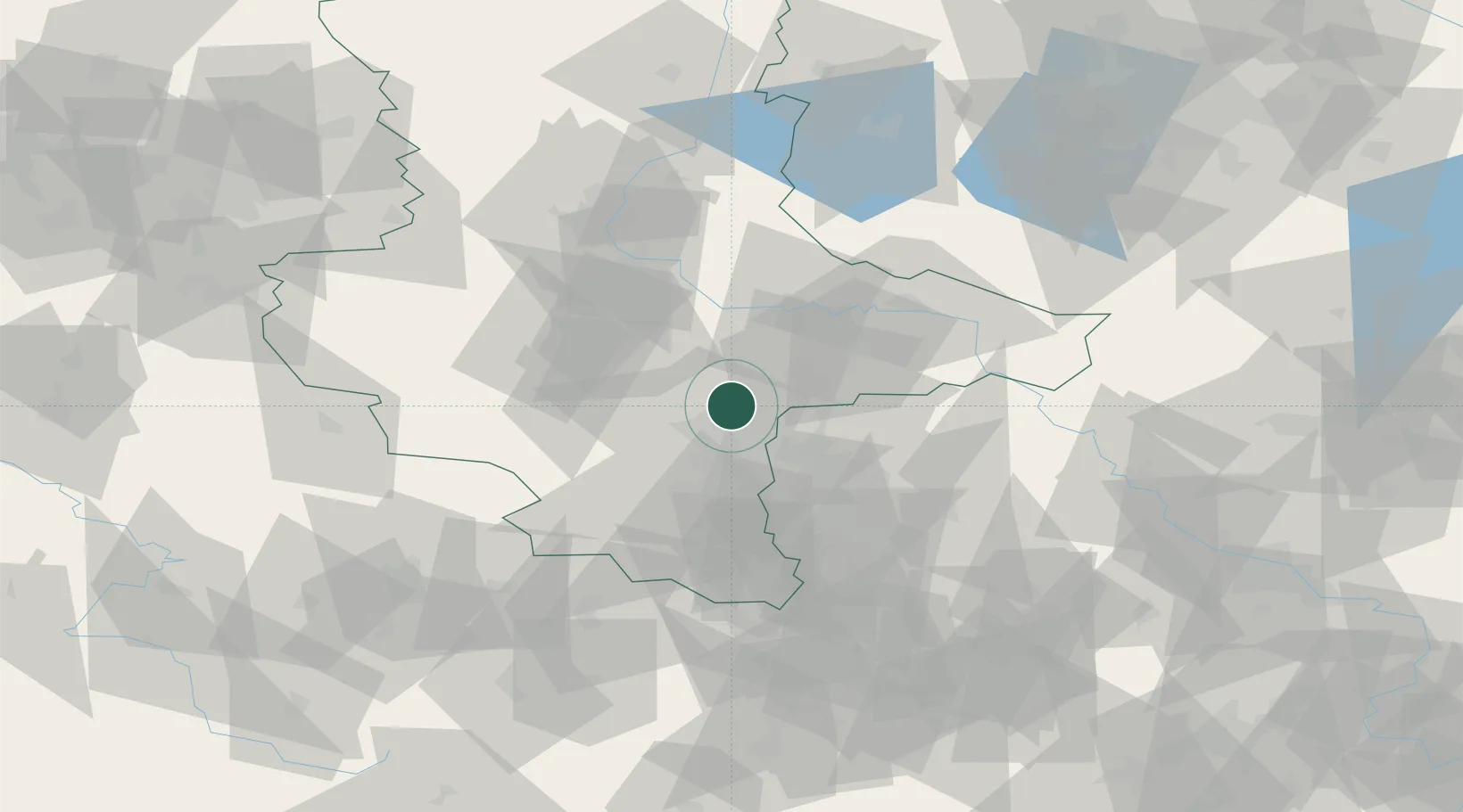
Hub Profile
Place type
Populated place
Region
Saxony-Anhalt
Population
957
Time zone
Europe/Berlin
Elevation
117 m
Location
Nearby Logistics Neighbours
Ports
- 1Wismar262 km
- 2Hamburg263 km
- 3Szczecin266 km
- 4Lubeck273 km
- 5Lubeck-Travemunde278 km
Airports
- 1Leipzig/Halle Airport21 km
- 2Zerbst Airfield49 km
- 3Leipzig–Altenburg Airport72 km
- 4Holzdorf Air Base80 km
- 5Erfurt-Weimar Airport100 km
Trade Zones
- 1Most - Joseph Industrial Zone164 km
- 2Žatec - Triangle Strategic Industrial Zone166 km
- 3Podbořany Industrial Zone177 km
- 4Kostrzyń-Słubice SEZ211 km
- 5Szczecin Duty Free Zone268 km
DatabookThe Record of Consolidated Knowledge
Germany beyond logistics?