UN/LOCODE hub · Germany
DEEIU

Eichenau

48.1667°, 11.3167°
11,637
Population
1
Transport functions

Transport Functions

Multimodal
UN/LOCODE

Hub Profile

Place type
Local administrative seat
GeoNames
Region
Bavaria
GeoNames
Population
11,637
GeoNames
Time zone
Europe/Berlin
GeoNames
Elevation
527 m
GeoNames

Location

Location of DEEIU
Natural Earth 10m (public domain) · Bavaria · DEEIU · 48.17, 11.32GoogleOSMYandex

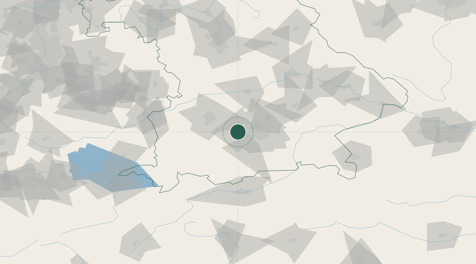
Nearby Logistics Neighbours

Cities
  1. 1Gröbenzell5 km
  2. 2Germering5 km
  3. 3Schöngeising9 km
  4. 4Gräfelfing10 km
  5. 5Allach11 km
Nearest neighbours — logibook spatial index (haversine) over the source coordinates
Ports
  1. 1Nogaro302 km
  2. 2Grado313 km
  3. 3Monfalcone315 km
  4. 4Porto Di Lido-Venezia317 km
  5. 5Porto Di Chioggia335 km
Nearest neighbours — logibook spatial index (haversine) over the source coordinates
Airports
  1. 1Oberpfaffenhofen Airport10 km
  2. 2Altstetten Ultralight Field16 km
  3. 3Lechfeld Air Base34 km
  4. 4Augsburg Airport41 km
  5. 5Munich Airport41 km
Nearest neighbours — logibook spatial index (haversine) over the source coordinates
Trade Zones
  1. 1Freeport of Deggendorf139 km
  2. 2Livigno Free Trade Zone204 km
  3. 3ZFU Neuhof266 km
  4. 4ZFU Hautepierre272 km
  5. 5Podbořany Industrial Zone275 km
Nearest neighbours — logibook spatial index (haversine) over the source coordinates
DatabookThe Record of Consolidated Knowledge
Germany beyond logistics?
Browse databook

All Sources

LocationsUN/LOCODE
UN/LOCODE — free
LocationsGeoNames
CC BY 4.0
Portsthe NGA World Port Index
Public domain (US gov)
AirportsOurAirports
Public domain
Trade Zonesthe World Bank SEZ database
CC BY 4.0
Trade ZonesOpen Zone Map
CC BY
← Germany locations