Transport Functions
Rail
Road
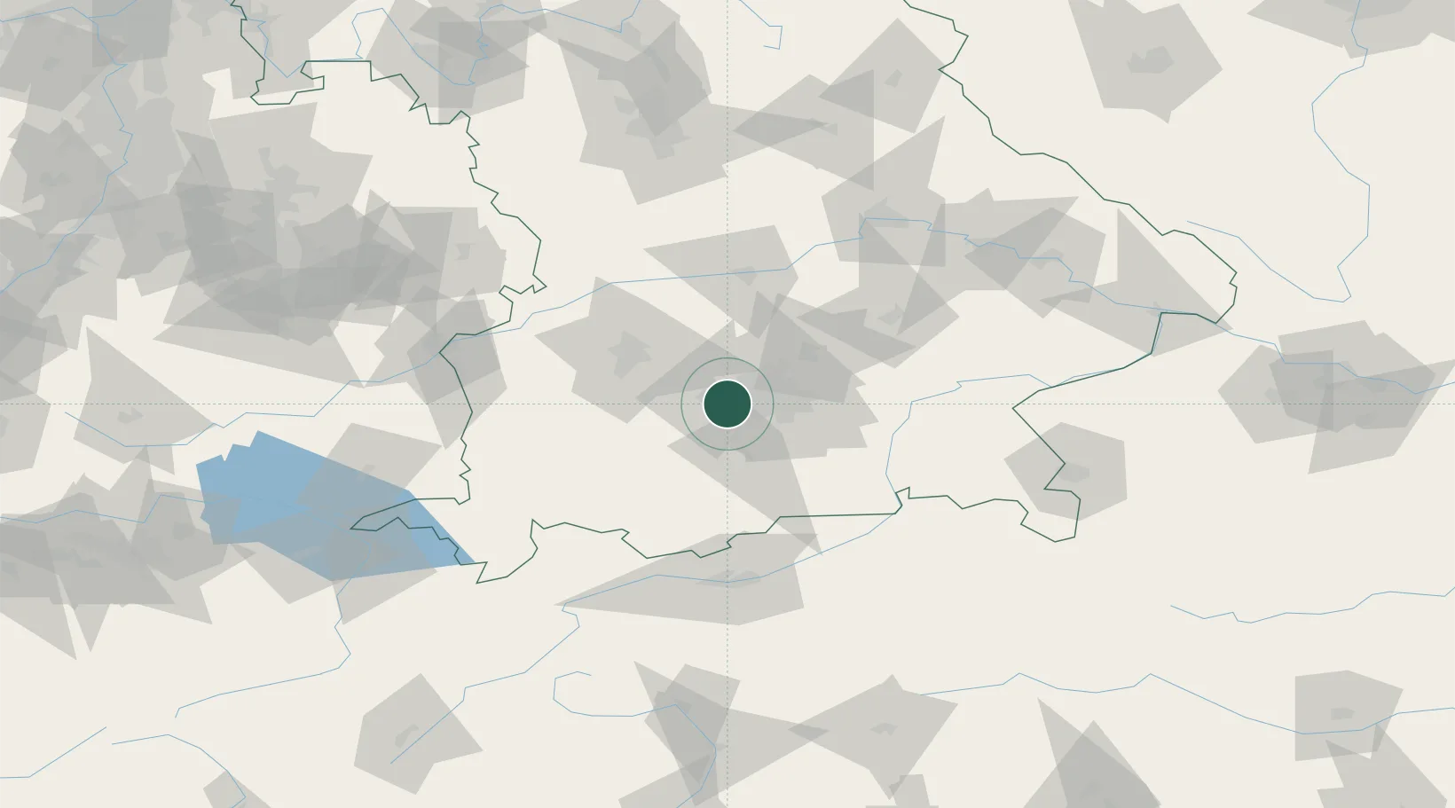
Hub Profile
Place type
Populated place
Region
Bavaria
Population
40,511
Time zone
Europe/Berlin
Elevation
544 m
Location
Nearby Logistics Neighbours
Cities
- 1Eichenau5 km
- 2Gräfelfing5 km
- 3Gröbenzell7 km
- 4Allach10 km
- 5Schöngeising12 km
Ports
- 1Nogaro297 km
- 2Grado308 km
- 3Monfalcone309 km
- 4Porto Di Lido-Venezia313 km
- 5Trieste330 km
Airports
- 1Oberpfaffenhofen Airport9 km
- 2Altstetten Ultralight Field20 km
- 3Lechfeld Air Base38 km
- 4Munich Airport40 km
- 5Augsburg Airport46 km
Trade Zones
- 1Freeport of Deggendorf138 km
- 2Livigno Free Trade Zone202 km
- 3ZFU Neuhof270 km
- 4Podbořany Industrial Zone276 km
- 5ZFU Hautepierre276 km
DatabookThe Record of Consolidated Knowledge
Germany beyond logistics?