UN/LOCODE hub · Germany
DEWSO

Weissenborn

51.1333°, 10.1167°
2
Transport functions

Transport Functions

Rail
Road
UN/LOCODE

Hub Profile

Place type
Local administrative seat
GeoNames
Region
Hesse
GeoNames
Time zone
Europe/Berlin
GeoNames
Elevation
267 m
GeoNames

Location

Location of DEWSO
Natural Earth 10m (public domain) · Hesse · DEWSO · 51.13, 10.12GoogleOSMYandex

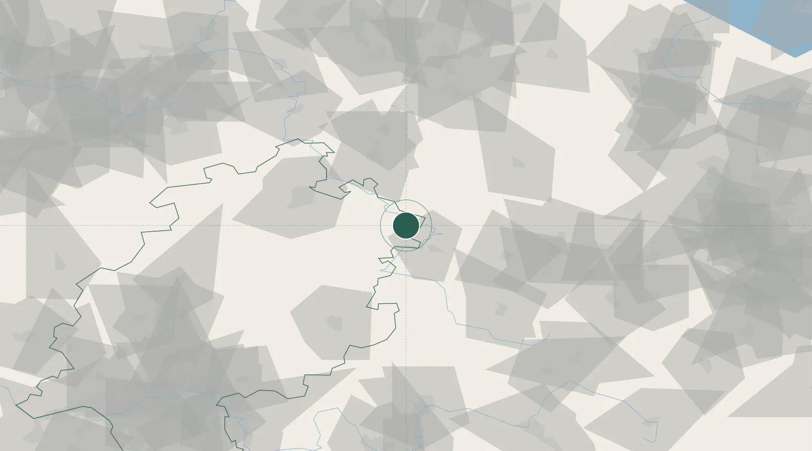
Nearby Logistics Neighbours

Cities
  1. 1Frieda8 km
  2. 2Reichensachsen8 km
  3. 3Geismar12 km
  4. 4Effelder14 km
  5. 5Rodeberg16 km
Nearest neighbours — logibook spatial index (haversine) over the source coordinates
Ports
  1. 1Bremen241 km
  2. 2Oldenburg256 km
  3. 3Elsfleth259 km
  4. 4Brake269 km
  5. 5Hamburg269 km
Nearest neighbours — logibook spatial index (haversine) over the source coordinates
Airports
  1. 1Eisenach-Kindel Airport30 km
  2. 2Fritzlar Army Airfield58 km
  3. 3Kassel Airport60 km
  4. 4Erfurt-Weimar Airport62 km
  5. 5Paderborn Lippstadt Airport117 km
Nearest neighbours — logibook spatial index (haversine) over the source coordinates
Trade Zones
  1. 1Freeport of Bremerhaven (Freihafen Bremerhaven)236 km
  2. 2Freeport of Duisburg248 km
  3. 3Podbořany Industrial Zone253 km
  4. 4Žatec - Triangle Strategic Industrial Zone253 km
  5. 5Most - Joseph Industrial Zone258 km
Nearest neighbours — logibook spatial index (haversine) over the source coordinates
DatabookThe Record of Consolidated Knowledge
Germany beyond logistics?
Browse databook

All Sources

LocationsUN/LOCODE
UN/LOCODE — free
Portsthe NGA World Port Index
Public domain (US gov)
AirportsOurAirports
Public domain
Trade Zonesthe World Bank SEZ database
CC BY 4.0
Trade ZonesOpen Zone Map
CC BY
← Germany locations