UN/LOCODE hub · Germany
DEGSF
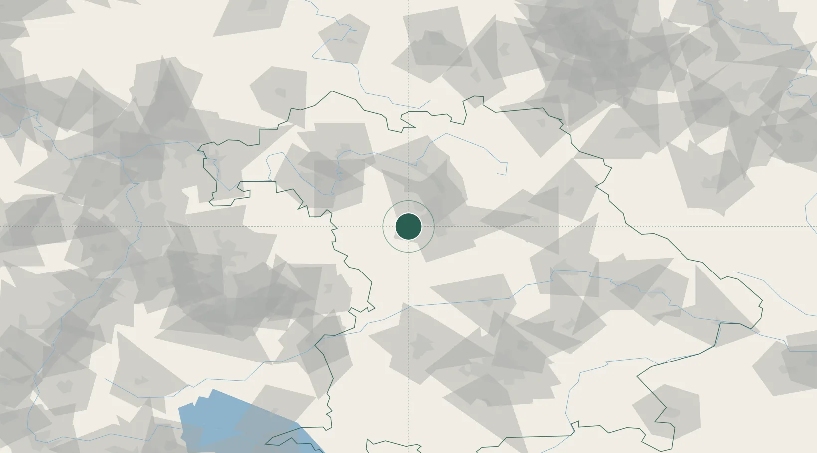
Grosshabersdorf
49.4000°, 10.7833°
4,274
Population
1
Transport functions
Transport Functions
Multimodal
Hub Profile
Place type
Local administrative seat
Region
Bavaria
Population
4,274
Time zone
Europe/Berlin
Elevation
330 m
Location
Nearby Logistics Neighbours
Cities
- 1Ammerndorf6 km
- 2Rosstal7 km
- 3Heilsbronn7 km
- 4Rohr (Roth)9 km
- 5Petersaurach11 km
Ports
- 1Bremen438 km
- 2Nogaro443 km
- 3Oldenburg450 km
- 4Monfalcone452 km
- 5Grado453 km
Airports
- 1Nuremberg Airport24 km
- 2Bamberg-Breitenau Airfield59 km
- 3Niederstetten Army Air Base60 km
- 4Hohenfels Army Airfield79 km
- 5Adolf Würth Airport79 km
Trade Zones
- 1Freeport of Deggendorf166 km
- 2Podbořany Industrial Zone209 km
- 3Žatec - Triangle Strategic Industrial Zone225 km
- 4Most - Joseph Industrial Zone238 km
- 5ZFU Neuhof240 km
DatabookThe Record of Consolidated Knowledge
Germany beyond logistics?