Transport Functions
Road
Multimodal
Hub Profile
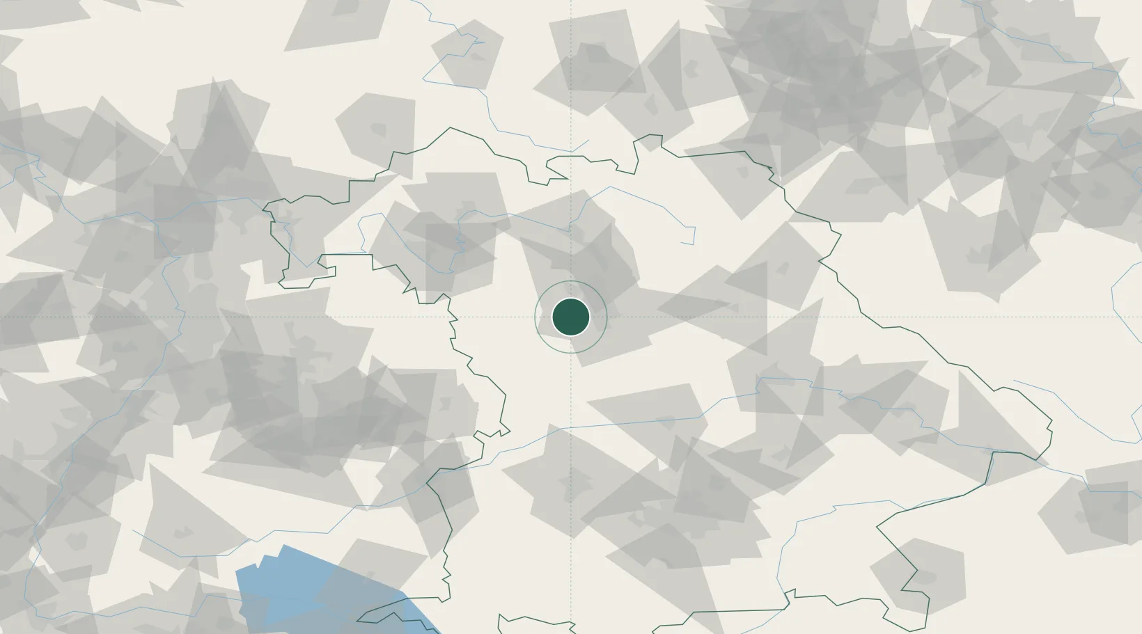
Place type
Populated place
Region
Bavaria
Population
2,099
Time zone
Europe/Berlin
Elevation
317 m
Location
Nearby Logistics Neighbours
Cities
- 1Rosstal1 km
- 2Rohr (Roth)6 km
- 3Grosshabersdorf6 km
- 4Oberasbach bei Nürnberg7 km
- 5Zirndorf8 km
Ports
- 1Bremen440 km
- 2Nogaro440 km
- 3Monfalcone450 km
- 4Grado450 km
- 5Oldenburg453 km
Airports
- 1Nuremberg Airport19 km
- 2Bamberg-Breitenau Airfield58 km
- 3Niederstetten Army Air Base66 km
- 4Hohenfels Army Airfield73 km
- 5Neuburg Air Base81 km
Trade Zones
- 1Freeport of Deggendorf161 km
- 2Podbořany Industrial Zone204 km
- 3Žatec - Triangle Strategic Industrial Zone220 km
- 4Most - Joseph Industrial Zone232 km
- 5ZFU Neuhof246 km
DatabookThe Record of Consolidated Knowledge
Germany beyond logistics?