Transport Functions
Rail
Road
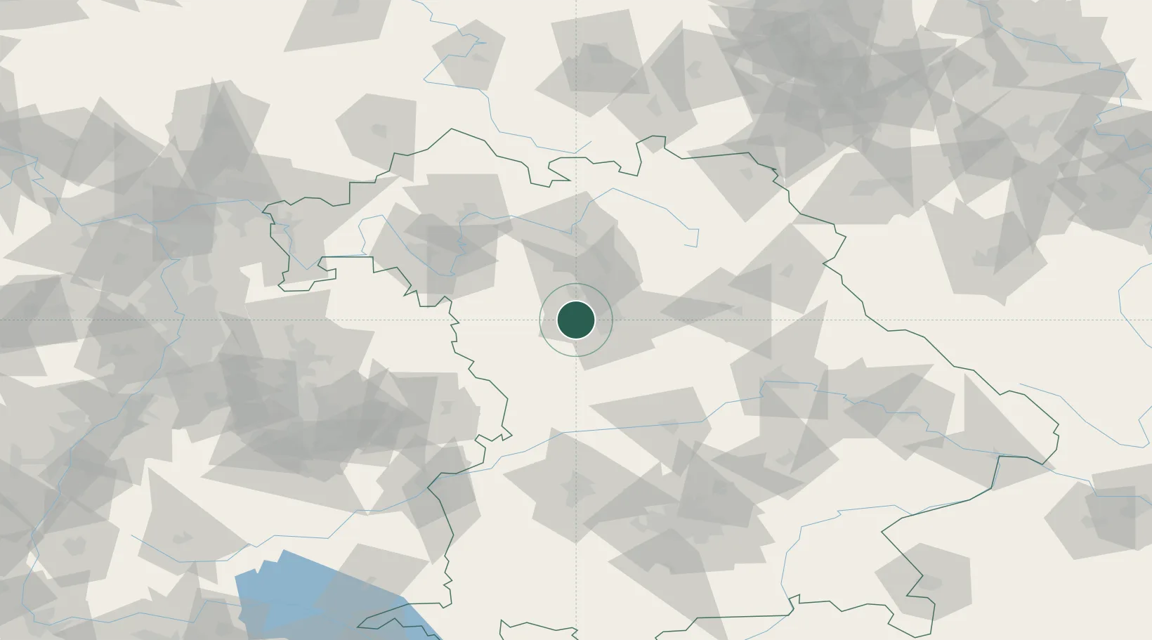
Hub Profile
Place type
Populated place
Region
Bavaria
Population
10,052
Time zone
Europe/Berlin
Elevation
367 m
Location
Nearby Logistics Neighbours
Cities
- 1Ammerndorf1 km
- 2Rohr (Roth)6 km
- 3Oberasbach bei Nürnberg6 km
- 4Grosshabersdorf7 km
- 5Zirndorf7 km
Ports
- 1Nogaro440 km
- 2Bremen440 km
- 3Monfalcone449 km
- 4Grado450 km
- 5Oldenburg453 km
Airports
- 1Nuremberg Airport18 km
- 2Bamberg-Breitenau Airfield58 km
- 3Niederstetten Army Air Base67 km
- 4Hohenfels Army Airfield72 km
- 5Neuburg Air Base80 km
Trade Zones
- 1Freeport of Deggendorf159 km
- 2Podbořany Industrial Zone203 km
- 3Žatec - Triangle Strategic Industrial Zone219 km
- 4Most - Joseph Industrial Zone231 km
- 5ZFU Neuhof247 km
DatabookThe Record of Consolidated Knowledge
Germany beyond logistics?