Transport Functions
Multimodal
Hub Profile
Place type
Populated place
Region
Bavaria
Population
9,374
Time zone
Europe/Berlin
Elevation
417 m
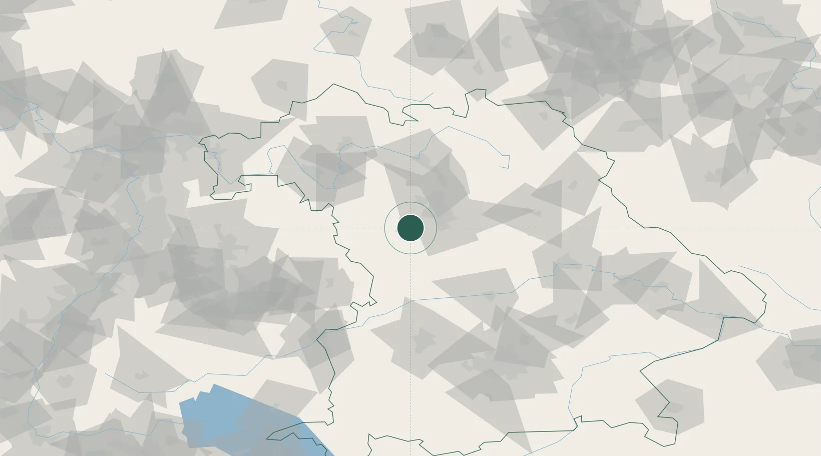
Location
Nearby Logistics Neighbours
Cities
- 1Petersaurach4 km
- 2Bechhofen7 km
- 3Grosshabersdorf7 km
- 4Rohr (Roth)8 km
- 5Ammerndorf10 km
Ports
- 1Nogaro436 km
- 2Bremen445 km
- 3Monfalcone446 km
- 4Grado446 km
- 5Porto Di Lido-Venezia453 km
Airports
- 1Nuremberg Airport28 km
- 2Niederstetten Army Air Base60 km
- 3Bamberg-Breitenau Airfield66 km
- 4Neuburg Air Base76 km
- 5Adolf Würth Airport76 km
Trade Zones
- 1Freeport of Deggendorf164 km
- 2Podbořany Industrial Zone213 km
- 3Žatec - Triangle Strategic Industrial Zone229 km
- 4ZFU Neuhof238 km
- 5ZFU Hautepierre240 km
DatabookThe Record of Consolidated Knowledge
Germany beyond logistics?