Transport Functions
Rail
Road
Hub Profile
Place type
Local administrative seat
Region
Bavaria
Population
5,116
Time zone
Europe/Berlin
Elevation
450 m
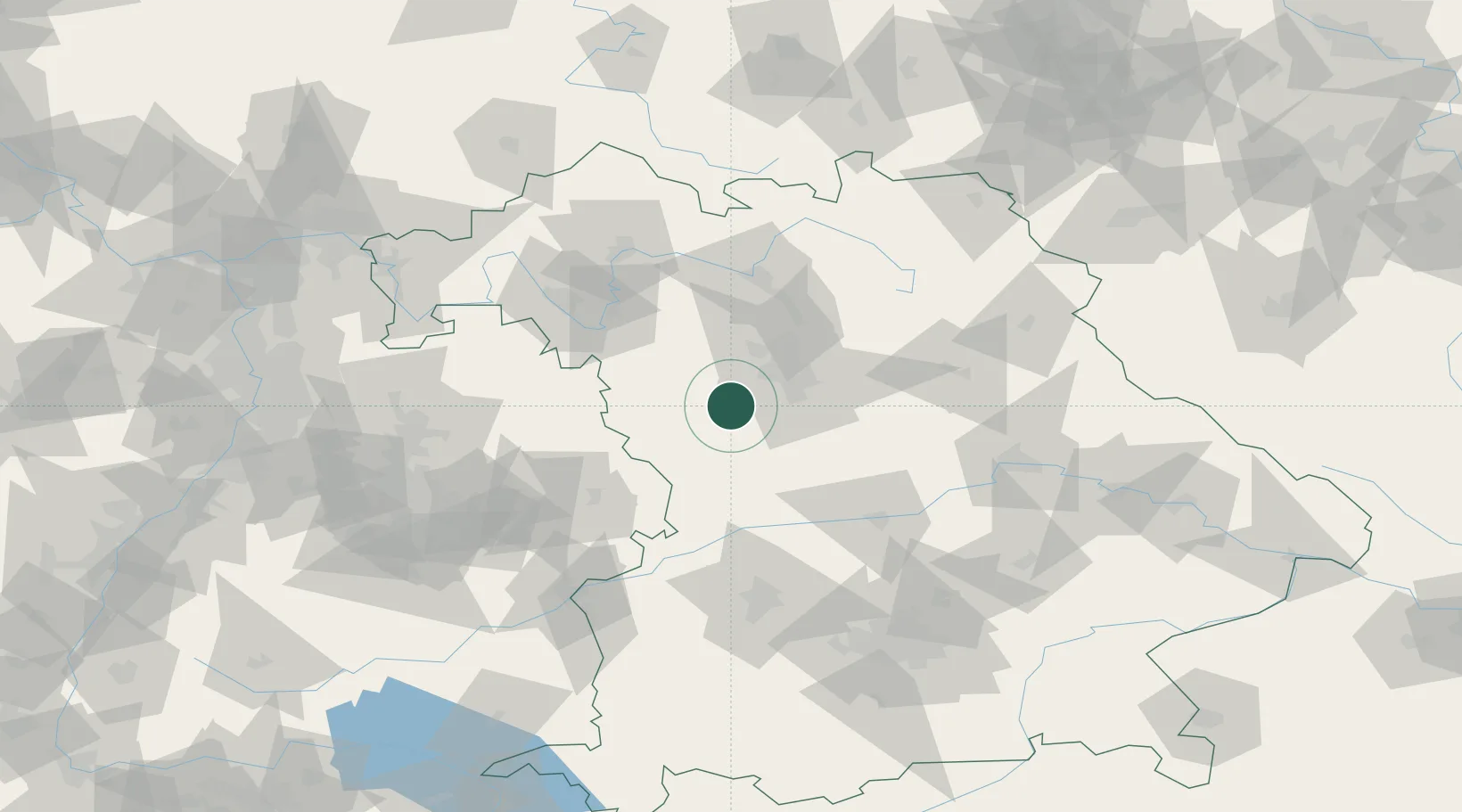
Location
Nearby Logistics Neighbours
Cities
- 1Heilsbronn4 km
- 2Bechhofen4 km
- 3Windsbach7 km
- 4Rohr (Roth)11 km
- 5Grosshabersdorf11 km
Ports
- 1Nogaro434 km
- 2Monfalcone444 km
- 3Grado444 km
- 4Bremen448 km
- 5Porto Di Lido-Venezia450 km
Airports
- 1Nuremberg Airport32 km
- 2Niederstetten Army Air Base58 km
- 3Bamberg-Breitenau Airfield70 km
- 4Adolf Würth Airport73 km
- 5Neuburg Air Base74 km
Trade Zones
- 1Freeport of Deggendorf165 km
- 2Podbořany Industrial Zone217 km
- 3Žatec - Triangle Strategic Industrial Zone233 km
- 4ZFU Neuhof234 km
- 5ZFU Hautepierre237 km
DatabookThe Record of Consolidated Knowledge
Germany beyond logistics?