Transport Functions
Rail
Road
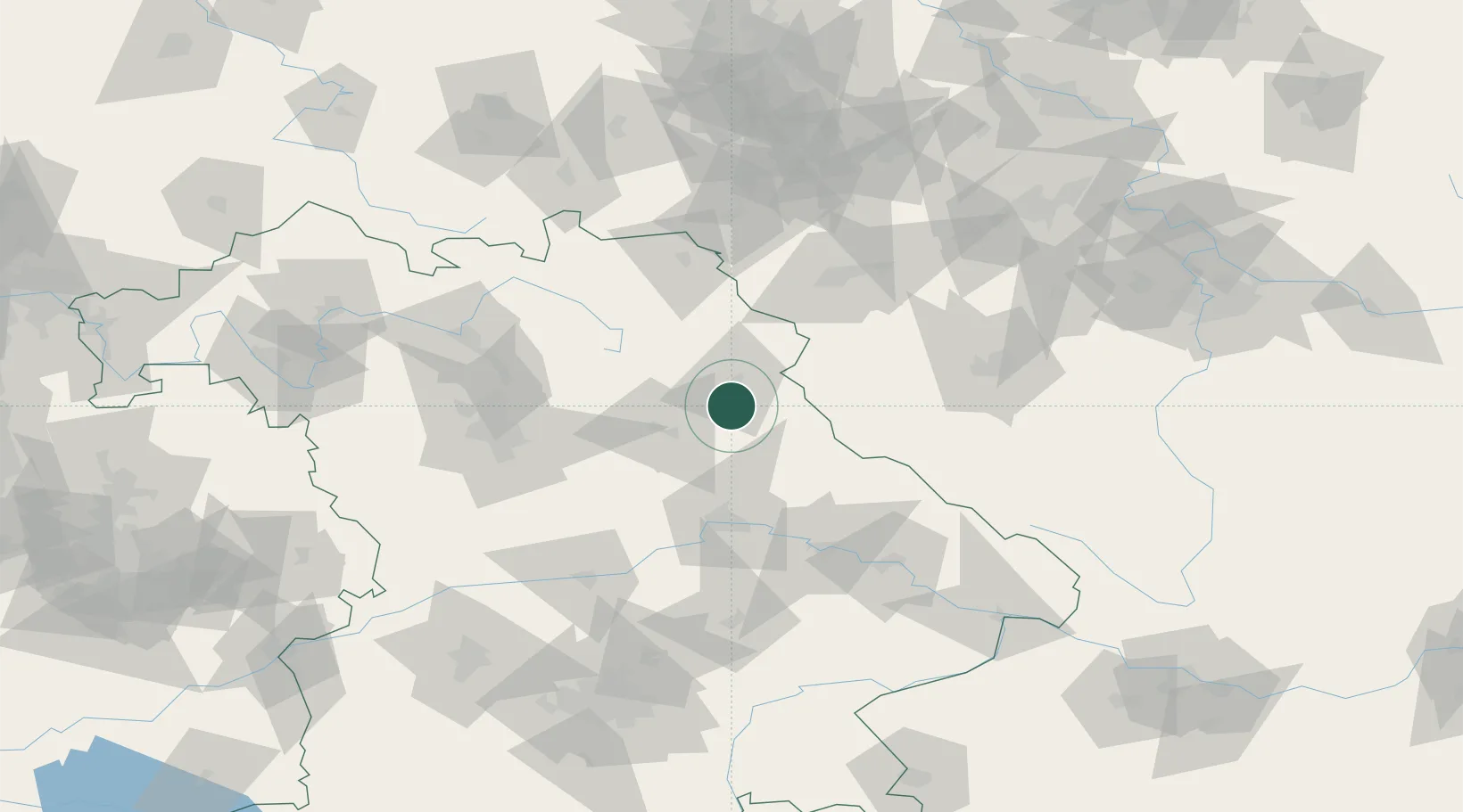
Hub Profile
Place type
Populated place
Region
Bavaria
Population
3,505
Time zone
Europe/Berlin
Elevation
394 m
Location
Nearby Logistics Neighbours
Cities
- 1Wernberg-Köblitz6 km
- 2Pirk (Neustadt an der Waldnaab)6 km
- 3Stein10 km
- 4Freihung17 km
- 5Parkstein18 km
Ports
- 1Nogaro432 km
- 2Monfalcone435 km
- 3Grado441 km
- 4Trieste453 km
- 5Szczecin457 km
Airports
- 1Grafenwöhr Army Air Field20 km
- 2Hohenfels Army Airfield47 km
- 3Bayreuth Airport58 km
- 4Nuremberg Airport78 km
- 5Hof-Plauen Airport81 km
Trade Zones
DatabookThe Record of Consolidated Knowledge
Germany beyond logistics?