Transport Functions
Rail
Road
Multimodal
Hub Profile
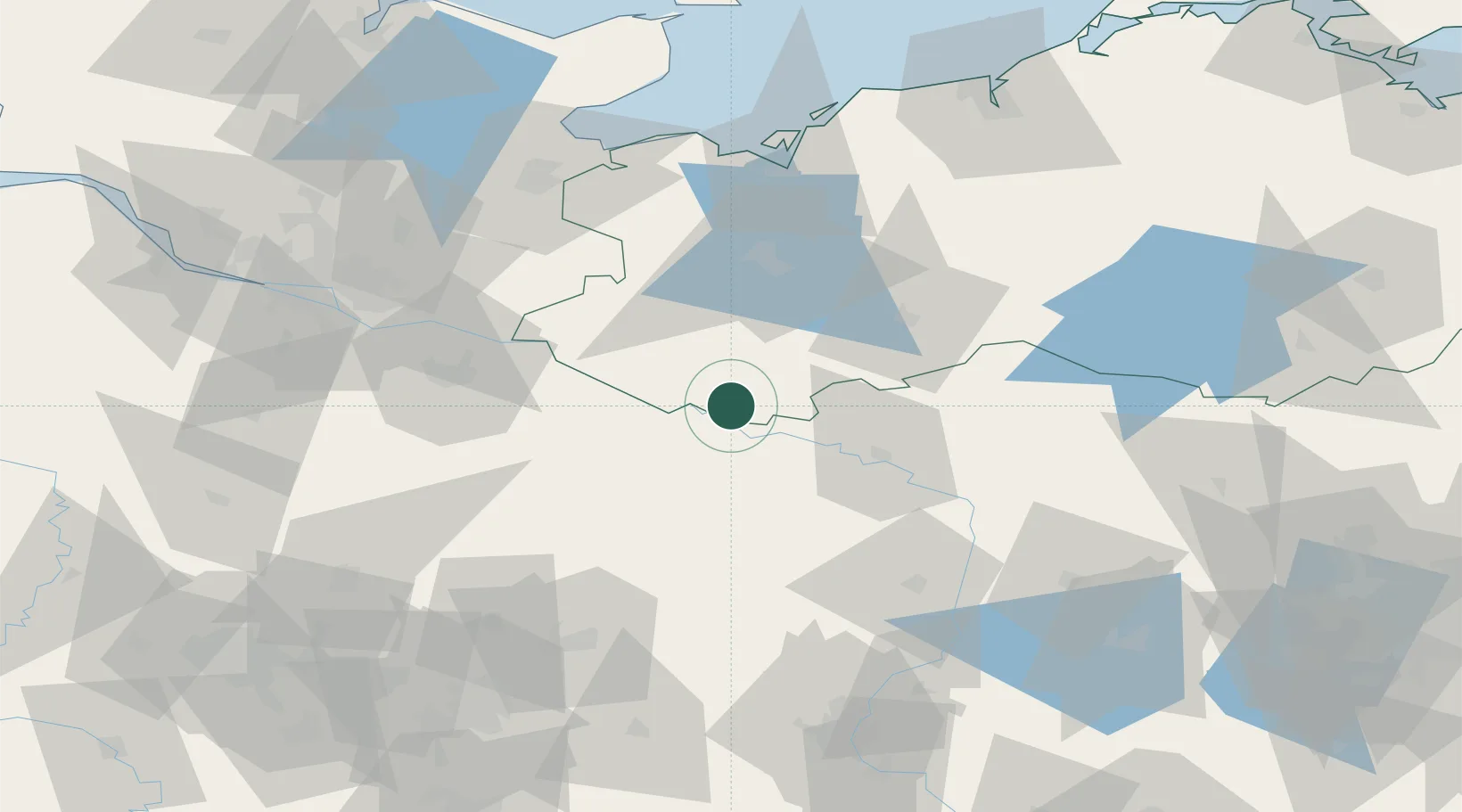
Place type
Populated place
Region
Mecklenburg-Vorpommern
Population
2,128
Time zone
Europe/Berlin
Elevation
16 m
Location
Nearby Logistics Neighbours
Ports
- 1Wismar82 km
- 2Lubeck89 km
- 3Lubeck-Travemunde93 km
- 4Hamburg99 km
- 5Neustadt108 km
Airports
- 1Faßberg Air Base78 km
- 2Lübeck Blankensee Airport80 km
- 3Hamburg Helmut Schmidt Airport100 km
- 4Hamburg-Finkenwerder Airport105 km
- 5Celle Army Airfield106 km
Trade Zones
DatabookThe Record of Consolidated Knowledge
Germany beyond logistics?