UN/LOCODE hub · Denmark
DKSGD

Sønderborg

54.9000°, 9.7833°
4
Transport functions

Transport Functions

Port
Rail
Road
Airport
Sønderborg is also a profiled seaport →
UN/LOCODE

Hub Profile

Region
83
GeoNames

Location

Location of DKSGD
Natural Earth 10m (public domain) · 83 · DKSGD · 54.90, 9.78GoogleOSMYandex

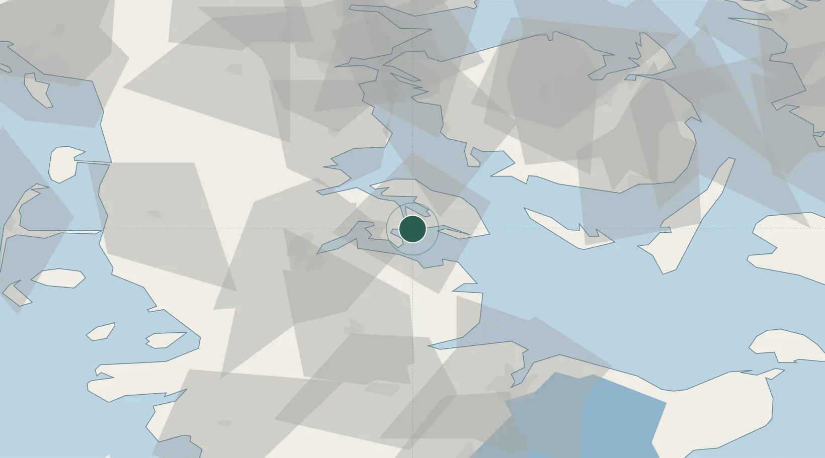
Nearby Logistics Neighbours

Cities
  1. 1Sydals6 km
  2. 2Fynshav14 km
  3. 3Langballig15 km
  4. 4Glücksburg17 km
  5. 5Hasselberg24 km
Nearest neighbours — logibook spatial index (haversine) over the source coordinates
Ports
  1. 1Augustenborg8 km
  2. 2Flensburg25 km
  3. 3Ensted26 km
  4. 4Kappeln28 km
  5. 5Abenra28 km
Nearest neighbours — logibook spatial index (haversine) over the source coordinates
Airports
  1. 1Sønderborg Airport7 km
  2. 2Ærø Airfield43 km
  3. 3Skrydstrup Air Base49 km
  4. 4Sydfyn (Tasinge) Airfield52 km
  5. 5Schleswig Air Base52 km
Nearest neighbours — logibook spatial index (haversine) over the source coordinates
Trade Zones
  1. 1Freeport of Kiel68 km
  2. 2Freeport of Cuxhaven (Freihafen Cuxhaven)143 km
  3. 3Freeport of Copenhagen- Nordhavn200 km
  4. 4Freeport of Bremerhaven (Freihafen Bremerhaven)212 km
  5. 5MTS Malmö Transport and Spedition224 km
Nearest neighbours — logibook spatial index (haversine) over the source coordinates
DatabookThe Record of Consolidated Knowledge
Denmark beyond logistics?
Browse databook

All Sources

LocationsUN/LOCODE
UN/LOCODE — free
Portsthe NGA World Port Index
Public domain (US gov)
AirportsOurAirports
Public domain
Trade Zonesthe World Bank SEZ database
CC BY 4.0
Trade ZonesOpen Zone Map
CC BY
← Denmark locations